Enable Location

We need your location to show you interesting places around you

Discover nearby places

Find interesting locations and hidden gems around you

Precise directions

Get accurate directions and distances to places

Your location is never shared with other users. It's only used when you tap the location button.

Log in to your account

Start exploring — it's free

Trusted by 62,560 travelers worldwide

Continue with Google
Continue with Apple
or

We will send you a code to connect

By continuing, you accept our Terms and Conditions and our Privacy Policy

Check your inbox

We've sent a pincode in your inbox. Please enter the code below.

Magrahat II community development block

Magrahat II community development block, Administrative block in Diamond Harbour subdivision, India

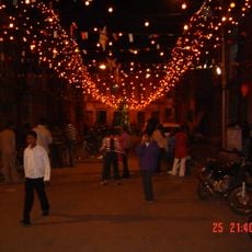
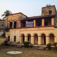
Magrahat II is an administrative block within the Diamond Harbour subdivision, serving a rural area composed of multiple villages across the region. The block functions as a local government unit managing day-to-day services and development activities for its residents.

This administrative block was established to organize governance and development services across the rural area. The region experienced significant population growth over recent decades, reflecting broader patterns of rural development in West Bengal.

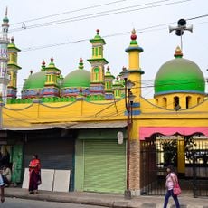
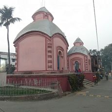
The block's population reflects religious diversity with 50.01 percent Muslim residents and 48.60 percent Hindu residents according to the 2011 census data.

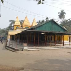
Medical services are available through a rural hospital and health centers, complemented by private facilities. The area is primarily rural, so planning ahead for services and having local guidance is helpful for visitors.

The region's farming relies heavily on rice cultivation and jute production, both deeply tied to monsoon patterns. These traditional crops shape the landscape and influence the seasonal rhythms of local life.

The community of curious travelers

AroundUs brings together thousands of curated places, local tips, and hidden gems, enriched daily by 60,000 contributors worldwide.

Start exploring
Elevation above the sea
4 m
Shares border with
Bishnupur I community development block
GPS coordinates
22.24200,88.37840
Latest update
December 10, 2025 16:23
« Magrahat II community development block - Administrative block in Diamond Harbour subdivision, India » is provided by Around Us (aroundus.com). Images and texts are derived from Wikimedia project under a Creative Commons license. You are allowed to copy, distribute, and modify copies of this page, under the conditions set by the license, as long as this note is clearly visible.

Discover hidden gems everywhere you go!

From secret cafés to breathtaking viewpoints, skip the crowded tourist spots and find places that match your style. Our app makes it easy with voice search, smart filtering, route optimization, and insider tips from travelers worldwide. Download now for the complete mobile experience.

Around Us App Screenshot

A unique approach to discovering new places

Le Figaro

All the places worth exploring

France Info

A tailor-made excursion in just a few clicks

20 Minutes

Around Us
Travel Guide & Maps
Download

Send to your phone

QR Code
1

Open the camera app on your mobile.

2

Point at the QR code with your camera. A notification will appear.

3

Tap the notification to open the link.