
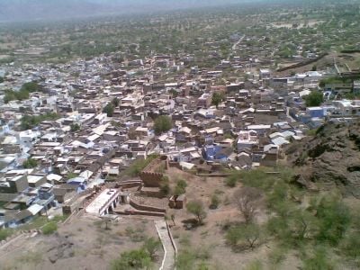
Siwana, human settlement in India
Location: Barmer district
Elevation above the sea: 184 m
GPS coordinates: 25.64889,72.42167
Latest update: March 8, 2025 17:43
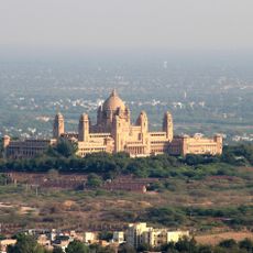
Umaid Bhawan Palace
94.2 km
Dilwara Temple
119.6 km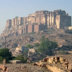
Mehrangarh Fort
93.8 km
Om Banna
82.4 km
Ranakpur Jain Temple
117.9 km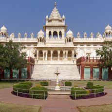
Jaswant Thada
94.7 kmSundha Mata Temple
91 km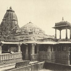
Sachiya Mata Temple
87.9 kmNakodaji
31.1 km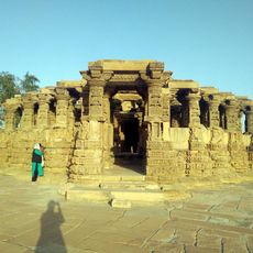
Kiradu temples
133.3 km
Mount Abu Wildlife Sanctuary
124.2 km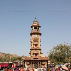
Ghanta Ghar
93.9 km
Jirawala Tirth
108.8 km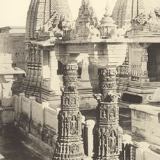
Mahavira Jain temple
128.6 km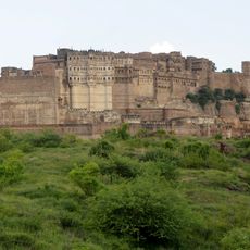
Rao Jodha Desert Rock Park
94.2 km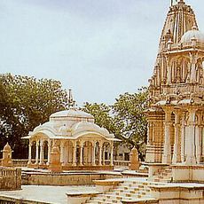
Shree Pavapuri Tirth Dham
104.2 km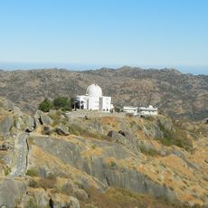
Mount Abu Observatory
116.4 km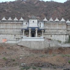
Mirpur Jain Temple
96.2 km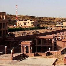
Birkha Bawari
94.4 km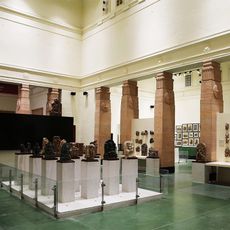
Sardar Government Museum
94.1 km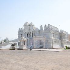
Bhandavapur
73.1 kmKhema Baba Temple
74.8 km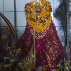
Nimbaja Mata kuldevi
64.3 km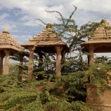
Dewatu
110.9 km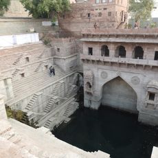
Toor Ji Ka Jhalra
94 km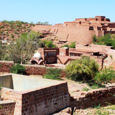
Mandore Fort
99.4 km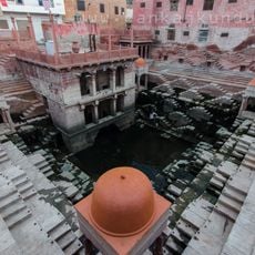
Mahila Bagh Jhalra
94.1 km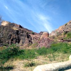
Siwana Fort
510 mVisited this place? Tap the stars to rate it and share your experience / photos with the community! Try now! You can cancel it anytime.
Discover hidden gems everywhere you go!
From secret cafés to breathtaking viewpoints, skip the crowded tourist spots and find places that match your style. Our app makes it easy with voice search, smart filtering, route optimization, and insider tips from travelers worldwide. Download now for the complete mobile experience.

A unique approach to discovering new places❞
— Le Figaro
All the places worth exploring❞
— France Info
A tailor-made excursion in just a few clicks❞
— 20 Minutes