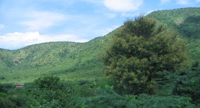
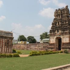
Palkonda Hills, Mountain range in Andhra Pradesh, India.
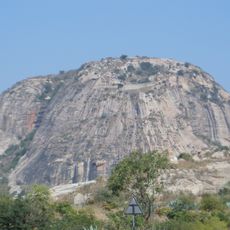
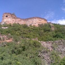
Palkonda Hills form a mountain range extending from southeast to northwest across Anantapur and Kadapa districts, with Buttaid peak as the highest point at 3,060 feet (930 meters). The formation is shaped by the Penner River valley that cuts through the ridge.
These hills formed during the Cambrian Period roughly 500 million years ago as part of ancient geological processes. Since then, the Penner River and its tributaries have continuously shaped the landscape through erosion.
The name Palkonda comes from Telugu words where 'pal' means milk and 'konda' means hill, reflecting how local people describe the landscape in their own language. This naming tradition shows the deep connection between the region and its inhabitants.
The Mumbai-Chennai railway line runs alongside these hills, connecting major transport hubs like Guntakal and Renigunta for easy access. This route makes the region convenient to visit for those exploring the area.
Rivers between Palkonda and Velikonda ranges have been dammed to create irrigation reservoirs in the valleys. These water systems support local agriculture in the surrounding areas.
The community of curious travelers
AroundUs brings together thousands of curated places, local tips, and hidden gems, enriched daily by 60,000 contributors worldwide.