
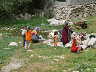
Sarab-e Bahram, village in Mamasani County, Iran
Location: Bakesh-e Yek Rural District
Elevation above the sea: 1,002 m
GPS coordinates: 30.04750,51.55833
Latest update: June 14, 2025 12:09
Anshan Persia
82.1 km
Bishapur
30 km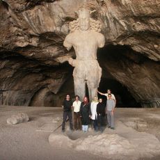
Colossal Statue of Shapur I
27.2 km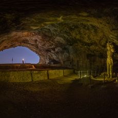
Shapur Cave
27.2 km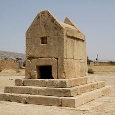
Gur-e Dokhtar
92.9 km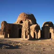
Sassanid Archaeological Landscape of Fars Region
30.1 km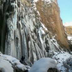
Margoon Waterfall
59 km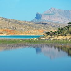
Dorudzan Dam
84.6 km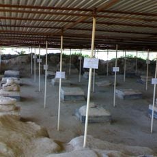
Bardak Siah Palace
88.5 km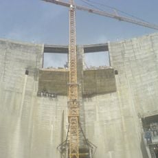
Rais Ali Dilavari Dam
65.5 km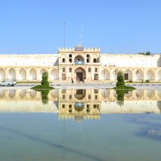
Moshir al-Molk Caravanserai
93.2 km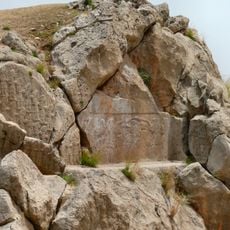
Kurangun
17.4 km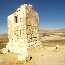
Nurabad Tower
11.7 km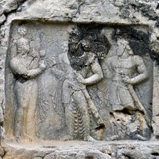
Tang-e Qandil relief
18.3 km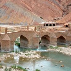
Moshir Bridge
67.6 km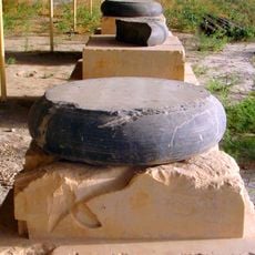
Charkhab Palace
94.9 km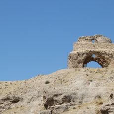
Jereh Fire Temple
92.5 km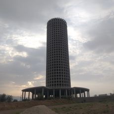
Fars Tower
91 km
Molla Sadra Dam
83.2 km
Imamzadeh Mansur (Dashtestan County)
98.2 km
Chenar Rahdar Caravanserai
96.3 km
Relief of Bahram II at Guyim
83.4 km
Tang-e Boraq Canyon
80.8 km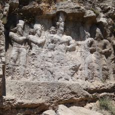
Sarab-e Bahram relief
285 m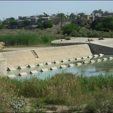
Shabankareh Weir
85.6 km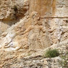
Sar Mashhad relief
85.5 km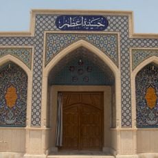
Azam Hussainiya (Borazjan)
93.5 km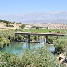
Chitab Bridge
85.4 kmReviews
Visited this place? Tap the stars to rate it and share your experience / photos with the community! Try now! You can cancel it anytime.
Discover hidden gems everywhere you go!
From secret cafés to breathtaking viewpoints, skip the crowded tourist spots and find places that match your style. Our app makes it easy with voice search, smart filtering, route optimization, and insider tips from travelers worldwide. Download now for the complete mobile experience.

A unique approach to discovering new places❞
— Le Figaro
All the places worth exploring❞
— France Info
A tailor-made excursion in just a few clicks❞
— 20 Minutes