
Fahraj County, county in Kerman, Iran
Location: Kerman Province
Inception: 2009
Capital city: Fahraj
GPS coordinates: 28.94842,58.88340
Latest update: March 22, 2025 14:25
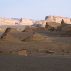
Dasht-e Lut
150.5 km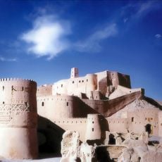
Bam Citadel
53.5 km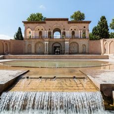
Shazdeh Garden
196 km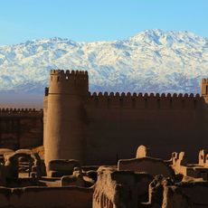
Rayen Citadel
157.6 km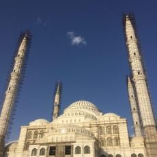
Jameh Mosque of Makki
200.8 km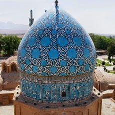
Shah Nematollah Vali Shrine
197.8 km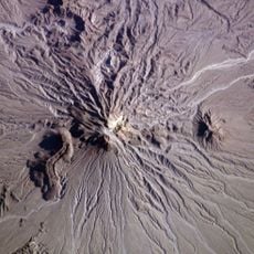
Kūh-e Zendeh
146.9 km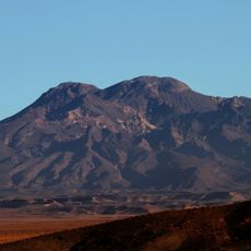
Mount Taftan
223 km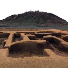
Konar Sandal
120.6 km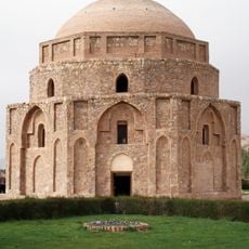
Gonbad-e Jabaliyeh
227.2 km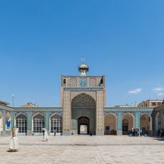
Malek Mosque
229.4 km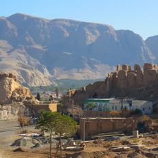
Dokhtar Castle (Kerman)
228.7 km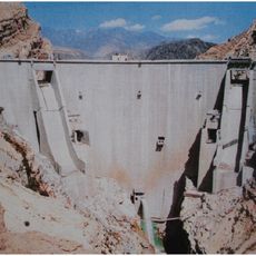
Jiroft Dam
138.4 km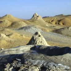
Pirgel Mud Volcano
189.6 km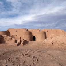
Remuk Castle
202.8 km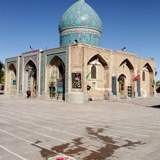
Imamzadeh Zeid
199.4 km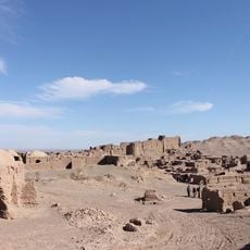
Keshit Castle
123.9 km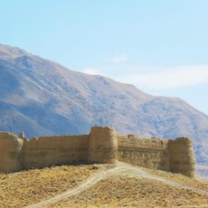
Ganjali Khan Castle
215.1 km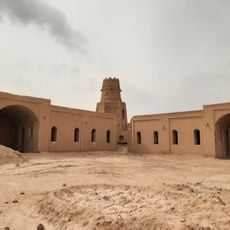
Shafiabad Castle
207.6 km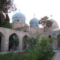
Mushtaqieh Dome
229.3 km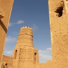
Ziaratgah Castle
207.2 km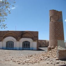
Jameh Mosque of Negar
226.5 km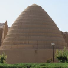
Zarisf Icehouse
228.6 km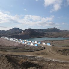
Baft Dam
221.8 km
Haftad Molla Cemetery
217.9 km
Ju Moayedi Icehouse
229 km
Zahedan Roofed Bazaar
202.6 km
Shahdad Watermill
199.3 kmReviews
Visited this place? Tap the stars to rate it and share your experience / photos with the community! Try now! You can cancel it anytime.
Discover hidden gems everywhere you go!
From secret cafés to breathtaking viewpoints, skip the crowded tourist spots and find places that match your style. Our app makes it easy with voice search, smart filtering, route optimization, and insider tips from travelers worldwide. Download now for the complete mobile experience.

A unique approach to discovering new places❞
— Le Figaro
All the places worth exploring❞
— France Info
A tailor-made excursion in just a few clicks❞
— 20 Minutes