
Ḩowẕ-e Nāderī, Stausee im Iran
Location: Sistan and Baluchestan Province
GPS coordinates: 31.23333,60.91667
Latest update: April 25, 2025 15:16
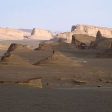
Dasht-e Lut
193.2 km
Shahr-e Sukhteh
81.1 km
Jameh Mosque of Makki
194.2 km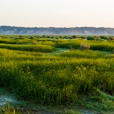
Mount Khajeh
45.1 km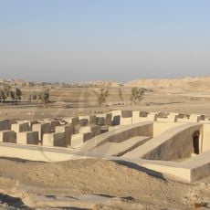
Dahan-e Gholaman
84.5 km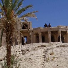
Farah Citadel
170.8 km
Akbarieh Garden
240.6 km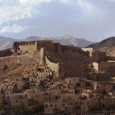
Furg Citadel
201.3 km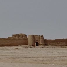
Rostam Castle
81.6 km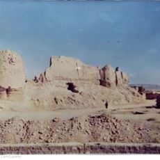
Nehbandan Castle
89.7 km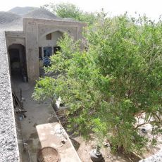
Sanjrani House
233.9 km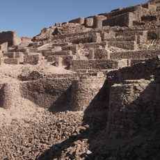
Shahdiz Castle
83.9 km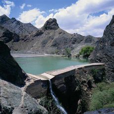
Darreh Dam
238.5 km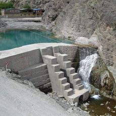
Omar Shah Dam
241.5 km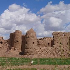
Basiran Castle
188.9 km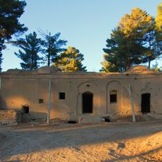
Mud Mansion
209.9 km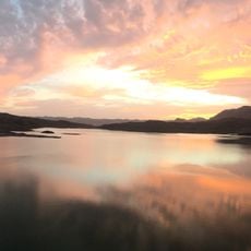
Asadiyeh Dam
168.8 km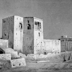
Baharestan Citadel
243.5 km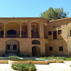
Akbarieh Mansion
240.5 km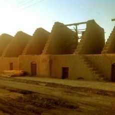
Khansharaf Windmill Complex
85.6 km
Showkatabad Garden
236.6 km
Rahimabad Garden
240.9 km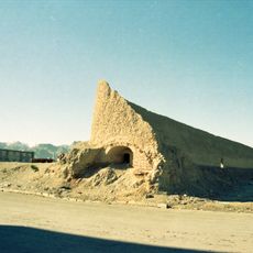
Rahimabad Icehouse
240.5 km
Zahedan Roofed Bazaar
193.1 km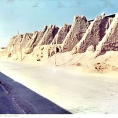
Nehbandan Windmill Complex
89.7 km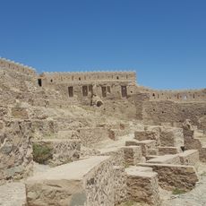
Arreh Furg Castle
201.6 km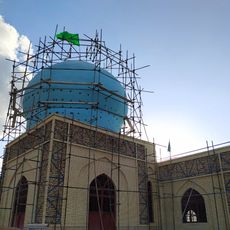
Imamzadeh Morteza (Seyyedan)
233.2 km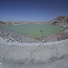
Siyahu Dam
136.4 kmReviews
Visited this place? Tap the stars to rate it and share your experience / photos with the community! Try now! You can cancel it anytime.
Discover hidden gems everywhere you go!
From secret cafés to breathtaking viewpoints, skip the crowded tourist spots and find places that match your style. Our app makes it easy with voice search, smart filtering, route optimization, and insider tips from travelers worldwide. Download now for the complete mobile experience.

A unique approach to discovering new places❞
— Le Figaro
All the places worth exploring❞
— France Info
A tailor-made excursion in just a few clicks❞
— 20 Minutes