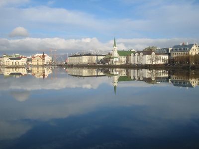
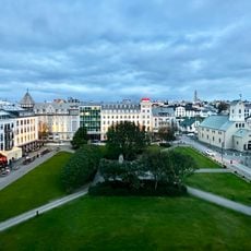
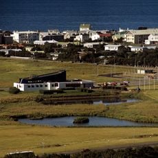
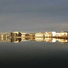
Tjörnin, Urban lake in central Reykjavík, Iceland.
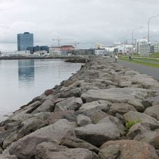
Tjörnin is a large lake in central Reykjavík surrounded by paved walking paths and parks that host a variety of water birds. The water body spans several square kilometers, creating an open green space at the heart of the city.
The lake formed naturally and became Reykjavík's most important freshwater source in the late 18th century. This role as a vital water supply shaped how the city developed around it.
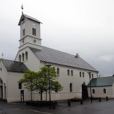
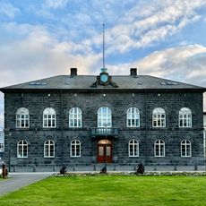
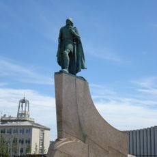
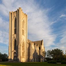
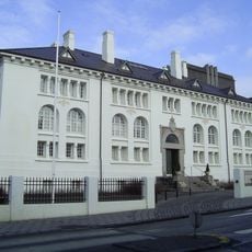
The shores of Tjörnin are lined with significant buildings including Iceland's Parliament, City Hall, the National Gallery, and a church with a distinctive green dome that define the character of the place. These structures reflect how the lake functions as the heart of the city.
The lake freezes over in winter months and becomes a skating surface while authorities keep some sections open for resident birds. Walking paths around the shores are accessible year-round and offer different experiences depending on the season.
Many visitors feed the ducks and geese with bread, earning the lake the local nickname 'the biggest bread soup in the world' among residents. This daily feeding activity draws large flocks of birds and becomes a distinctive part of the visitor experience.
The community of curious travelers
AroundUs brings together thousands of curated places, local tips, and hidden gems, enriched daily by 60,000 contributors worldwide.