Enable Location

We need your location to show you interesting places around you

Discover nearby places

Find interesting locations and hidden gems around you

Precise directions

Get accurate directions and distances to places

Your location is never shared with other users. It's only used when you tap the location button.

Lyngdalsheiði

Log in to your account

Start exploring — it's free

Trusted by 61,352 travelers worldwide

Continue with Google
Continue with Apple
or

We will send you a code to connect

By continuing, you accept our Terms and Conditions and our Privacy Policy

Check your inbox

We've sent a pincode in your inbox. Please enter the code below.

Lyngdalsheiði

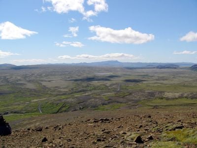
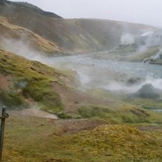
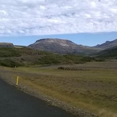
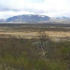
Lyngdalsheiði, Plateau and weather station between Laugarvatn and Þingvellir, Iceland

Description

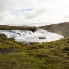
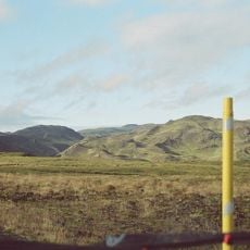
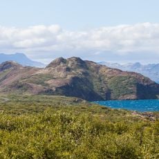
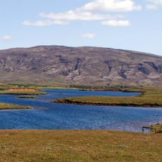
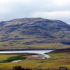
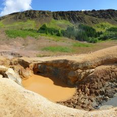
Lyngdalsheiði is a high plateau located between Laugarvatn and Þingvellir, characterized by volcanic terrain dotted with numerous caves. The landscape reveals raw lava fields and windswept conditions at roughly 215 meters elevation.

History

In 1907, a road was built through the surrounding lava fields to receive King Frederik VIII of Denmark, and it was named Kóngsvegur. This route became an important connection between the local communities in the region.

Culture

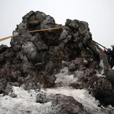
The area near Lyngdalsheiði contains several notable caves, including Laugarvatnshellir, Gjábakkahellir, Vegkantshellir, Tintron, Lambhellir, and Tvíbotni, each holding geological significance.

Practical

The plateau is windy and exposed to the elements, so bring proper clothing and sturdy footwear for the conditions. Weather can change quickly in this open landscape, making it useful to check conditions before visiting.

Did you know?

An automated weather station continuously monitors meteorological data from this location, contributing to important climate observations for the region. These measurements help understand weather patterns across Iceland's volcanic highland.

GPS coordinates
64.15722,-20.89861
Latest update
December 14, 2025 20:26

AroundUs brings together thousands of curated places, local tips, and hidden gems, enriched daily by 60,000 contributors worldwide. Discover all places nearby (Iceland).

« Lyngdalsheiði - Plateau and weather station between Laugarvatn and Þingvellir, Iceland » is provided by Around Us (aroundus.com). Images and texts are derived from Wikimedia project under a Creative Commons license. You are allowed to copy, distribute, and modify copies of this page, under the conditions set by the license, as long as this note is clearly visible.

Discover hidden gems everywhere you go!

From secret cafés to breathtaking viewpoints, skip the crowded tourist spots and find places that match your style. Our app makes it easy with voice search, smart filtering, route optimization, and insider tips from travelers worldwide. Download now for the complete mobile experience.

Around Us App Screenshot

A unique approach to discovering new places

Le Figaro

All the places worth exploring

France Info

A tailor-made excursion in just a few clicks

20 Minutes

Around Us
Travel Guide & Maps
Download

Send to your phone

QR Code
1

Open the camera app on your mobile.

2

Point at the QR code with your camera. A notification will appear.

3

Tap the notification to open the link.