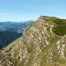
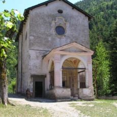
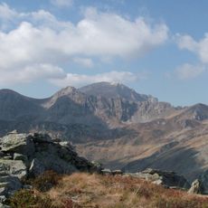
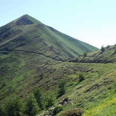
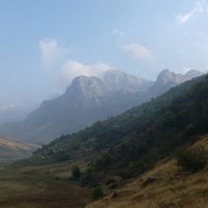
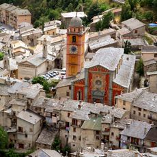
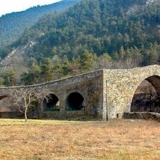
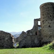
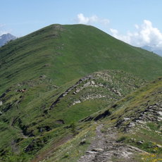
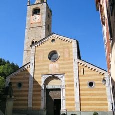
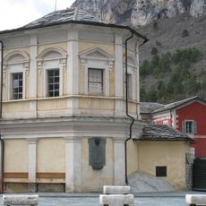
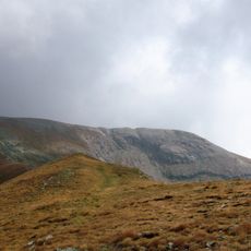
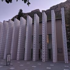
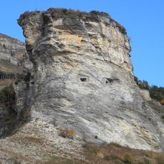
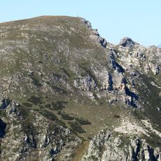
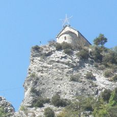
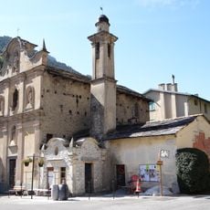
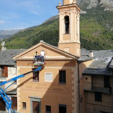
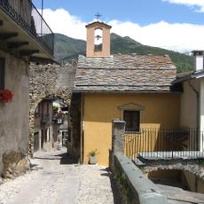
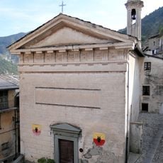
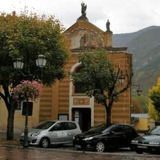
Briga Alta, Italian comune
Location: Province of Cuneo
Elevation above the sea: 1,310 m
Shares border with: Chiusa di Pesio, Cosio di Arroscia, Limone Piemonte, Mendatica, Ormea, Roccaforte Mondovì, Triora, La Brigue, Tende
Website: http://comune.brigaalta.cn.it
GPS coordinates: 44.08130,7.74089
Latest update: March 11, 2025 13:01
Monte Saccarello
3.2 km
Our Lady of the Fountains
7.3 km
Punta Marguareis
11.3 km
Monte Mongioie
10.9 km
Monte Frontè
3.2 km
Cima delle Saline
10.6 km
Monte Bertrand
6.7 km
Collégiale Notre-Dame-de-l'Assomption de Tende
11.9 km
Pont du Coq
9 km
Musée des Merveilles
11.9 km
Château des Seigneurs de la Brigue
10.3 km
Cima Garlenda
2.7 km
Passo Tanarello
2.1 km
Collegiate church of Saint-Martin de la Brig
10.4 km
Fort Tabourde
13.8 km
Chapelle Saint-Michel de La Brigue
10.2 km
Cima Pian Ballaur
10.2 km
Musée des Merveilles
11.9 km
Caposaldo Monte Corto-Monte Bertrand
10.5 km
Monte Tanarello
2.4 km
Cima Seirasso
13.4 km
Chapelle Saint-Sauveur de Tende
12.3 km
Chapelle de l'Assomption de La Brigue
10.4 km
Cima di Gaina
10.4 km
Chapelle de l'Annonciation
11.9 km
Chapelle de l'Annonciade
11.8 km
Chapelle de la Miséricorde de Tende
11.9 km
Église Saint-Michel de Tende
11.8 kmReviews
Visited this place? Tap the stars to rate it and share your experience / photos with the community! Try now! You can cancel it anytime.
Discover hidden gems everywhere you go!
From secret cafés to breathtaking viewpoints, skip the crowded tourist spots and find places that match your style. Our app makes it easy with voice search, smart filtering, route optimization, and insider tips from travelers worldwide. Download now for the complete mobile experience.
A unique approach to discovering new places❞
— Le Figaro
All the places worth exploring❞
— France Info
A tailor-made excursion in just a few clicks❞
— 20 Minutes