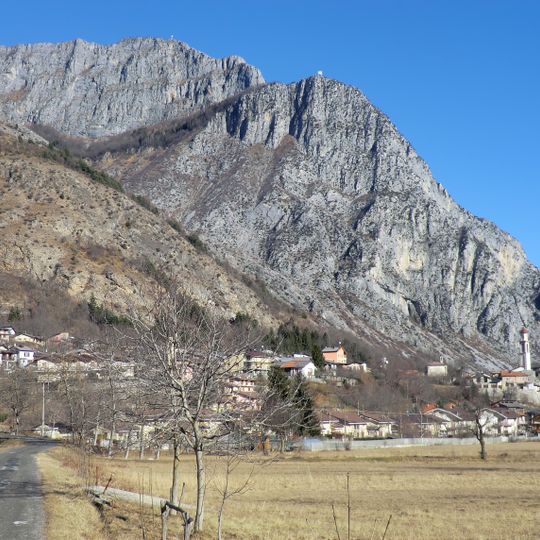
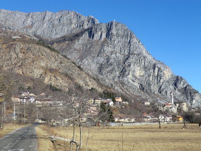
Valdieri, Italian comune
Location: Province of Cuneo
Capital city: Valdieri
Elevation above the sea: 774 m
Shares border with: Aisone, Borgo San Dalmazzo, Entracque, Moiola, Roccavione, Vinadio, Demonte, Roaschia, Isola, Saint-Martin-Vésubie, Valdeblore
Website: http://comune.valdieri.cn.it
GPS coordinates: 44.28333,7.40000
Latest update: March 5, 2025 07:44
Monte Argentera
14 km
Entracque Power Plant
6.6 km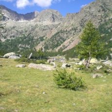
Parco naturale delle Alpi Marittime
8.8 km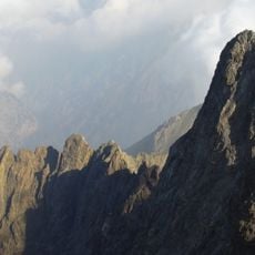
Corno Stella
13.4 km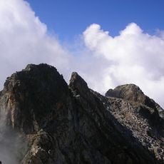
Monte Matto
13.3 km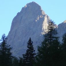
La Cougourde
16.9 km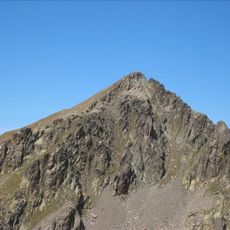
Cime du Mercantour
17.6 km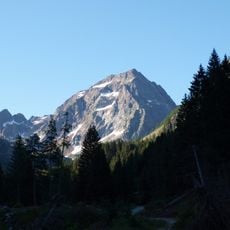
Testa Malinvern
19.3 km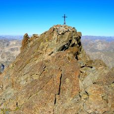
Cime de Nasta
15.1 km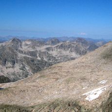
Cime Guilié
16.7 km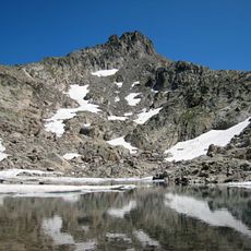
Cime de l'Agnel
16.1 km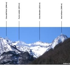
Cima Mondini
11.5 km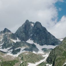
Cime Paganini
14.7 km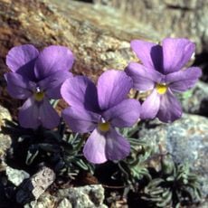
Alpin Botanical Garden Valderia
15.7 km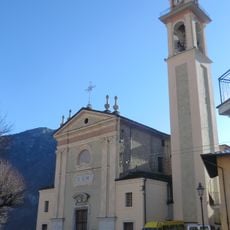
Chiesa di San Martino Vescovo
762 m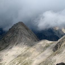
Cime de Frémamorte
18.4 km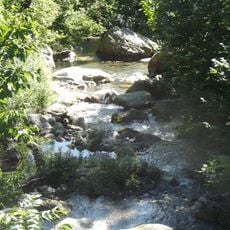
Cant
7.8 km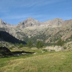
Testa del Claus
19.2 km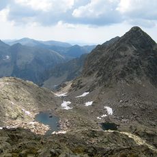
Cime de Baissette
17.8 km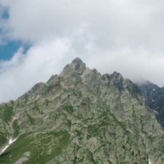
La Madre di Dio
15.3 km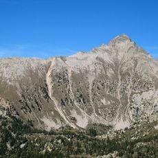
Pointe Giegn
19.4 km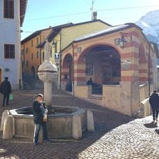
Uomini e lupi
4.8 km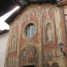
San Giovanni Decollato
8.8 km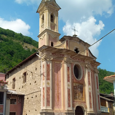
Chiesa della Confraternita di Santa Croce
2.7 km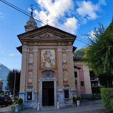
Madonna del Bealetto
4.5 km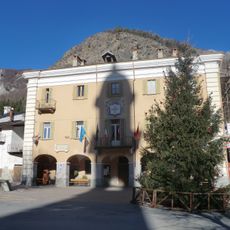
Town hall of Valdieri
710 m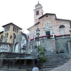
Chiesa di Sant'Antonino Martire
4.9 km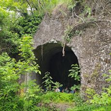
Forte di Demonte
8 kmVisited this place? Tap the stars to rate it and share your experience / photos with the community! Try now! You can cancel it anytime.
Discover hidden gems everywhere you go!
From secret cafés to breathtaking viewpoints, skip the crowded tourist spots and find places that match your style. Our app makes it easy with voice search, smart filtering, route optimization, and insider tips from travelers worldwide. Download now for the complete mobile experience.

A unique approach to discovering new places❞
— Le Figaro
All the places worth exploring❞
— France Info
A tailor-made excursion in just a few clicks❞
— 20 Minutes
