Enable Location

We need your location to show you interesting places around you

Discover nearby places

Find interesting locations and hidden gems around you

Precise directions

Get accurate directions and distances to places

Your location is never shared with other users. It's only used when you tap the location button.

Cime de l'Agnel

Log in to your account

Start exploring — it's free

Trusted by 61,909 travelers worldwide

Continue with Google
Continue with Apple
or

We will send you a code to connect

By continuing, you accept our Terms and Conditions and our Privacy Policy

Check your inbox

We've sent a pincode in your inbox. Please enter the code below.

Cime de l'Agnel

Cime de l'Agnel, Alpine summit in Mercantour-Argentera, Italy

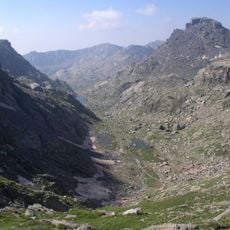
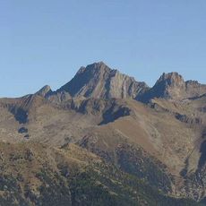
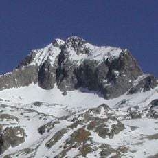
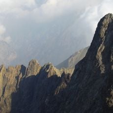
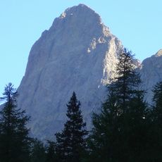
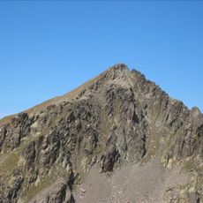
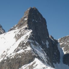
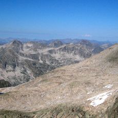
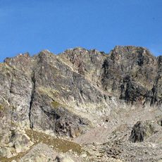
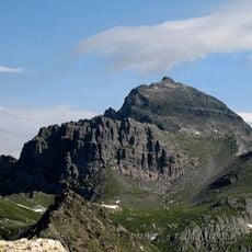
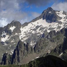
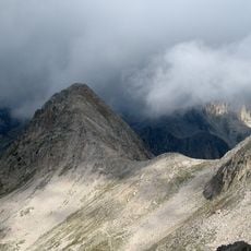
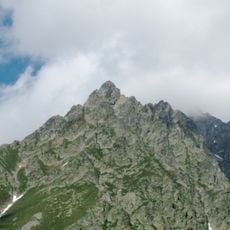
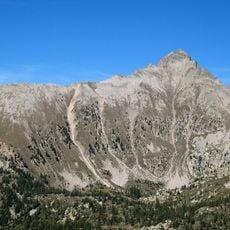
Cime de l'Agnel is a mountain summit in the Mercantour-Argentera range reaching 2927 meters with rocky upper sections and distinctive stone formations throughout. The peak rises prominently above surrounding terrain with steep slopes characteristic of high Alpine areas.

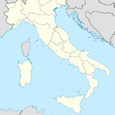
The mountain functioned as a natural border marker between Italy and France following the establishment of modern Alpine boundaries. This geographical position shaped its role in the region's territorial definition over time.

Local mountaineering groups maintain several marked trails to the summit, following traditional Alpine climbing routes established by early explorers.

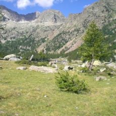
Hiking to the summit starts from Refuge de Cougourde along a marked trail covering about 13.9 kilometers with a roundtrip time of roughly 8 hours. Visitors should prepare for typical high mountain conditions including exposure to weather and steep sections.

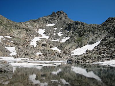
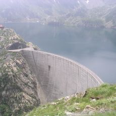
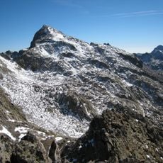
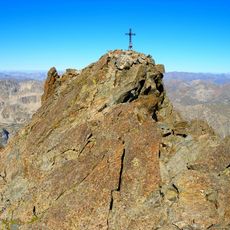
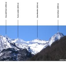
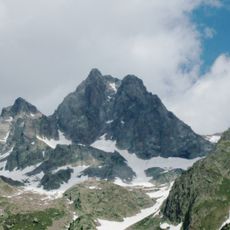
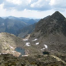
From the summit, visitors spot the double peaks of Cima Argentera to the northwest and see Lac de l'Agnel reflecting light at 2645 meters below. These visual landmarks make the peak a notable vantage point within this Alpine area.

The community of curious travelers

AroundUs brings together thousands of curated places, local tips, and hidden gems, enriched daily by 60,000 contributors worldwide.

Start exploring
GPS coordinates
44.14536,7.34057
Latest update
December 14, 2025 20:32
« Cime de l'Agnel - Alpine summit in Mercantour-Argentera, Italy » is provided by Around Us (aroundus.com). Images and texts are derived from Wikimedia project under a Creative Commons license. You are allowed to copy, distribute, and modify copies of this page, under the conditions set by the license, as long as this note is clearly visible.

Discover hidden gems everywhere you go!

From secret cafés to breathtaking viewpoints, skip the crowded tourist spots and find places that match your style. Our app makes it easy with voice search, smart filtering, route optimization, and insider tips from travelers worldwide. Download now for the complete mobile experience.

Around Us App Screenshot

A unique approach to discovering new places

Le Figaro

All the places worth exploring

France Info

A tailor-made excursion in just a few clicks

20 Minutes

Around Us
Travel Guide & Maps
Download

Send to your phone

QR Code
1

Open the camera app on your mobile.

2

Point at the QR code with your camera. A notification will appear.

3

Tap the notification to open the link.