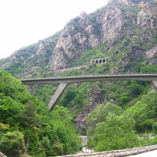
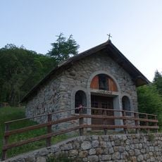
Grand Capelet, Mountain summit in Alpes-Maritimes, France
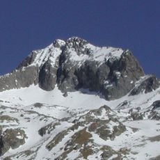
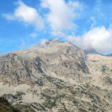
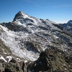
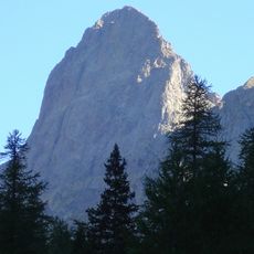
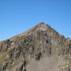
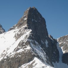
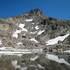
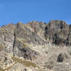
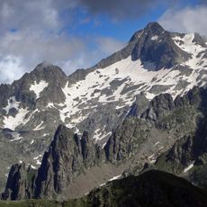
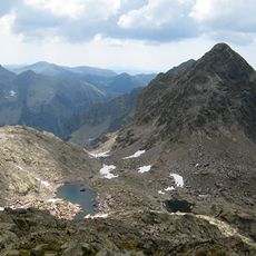
Grand Capelet is a mountain summit in the Alpes-Maritimes that rises to approximately 2,935 meters above sea level. The peak features steep rocky slopes and offers multiple hiking trails that traverse different elevations and terrain types.
The first ascent of Grand Capelet was made by J. Proust in 1885 via the south-east slope. The first winter ascent was completed by Victor de Cessole, Variot, M. Fassi and J. Plent on 27 February 1908, along the east ridge of the east slope.
The name comes from the Indo-European root kap, "head", Latinised as caput: "capelet" means "little hat", referring to a summit that catches the clouds. The peak lies on the watershed between the Gordolasque and Roya valleys, on the border of Belvédère and Tende, and forms part of the Mercantour National Park.
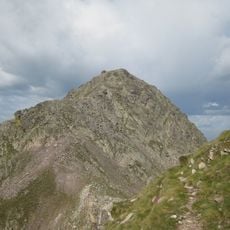
Hikers should start from marked parking areas where well-established trails lead to and around the peak. The summer months provide the most reliable climbing conditions, though the terrain requires appropriate footwear and awareness of changing weather at altitude.
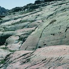
Grand Capelet is made of schist, except for its northern ridges, which consist of anatexites. The summit lies on the watershed between the Gordolasque and Roya valleys, on the border of Belvédère and Tende. Its name comes from the Latin caput, "head", for a peak that catches the clouds.
The community of curious travelers
AroundUs brings together thousands of curated places, local tips, and hidden gems, enriched daily by 94,466 contributors worldwide.