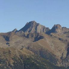
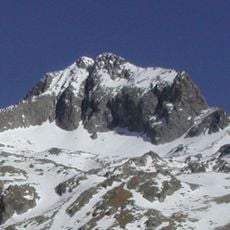
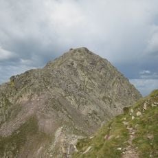
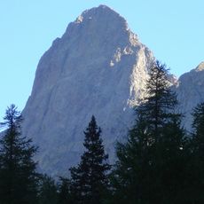
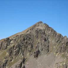
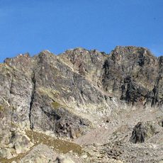
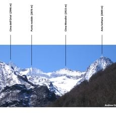
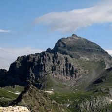
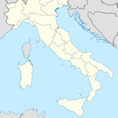
Monte Clapier, Alpine summit in Maritime Alps, France and Italy
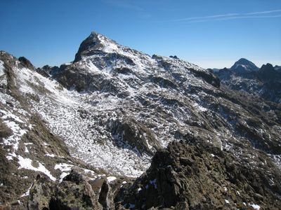
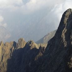
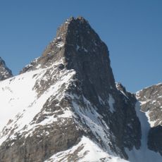
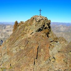
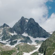
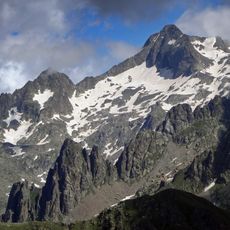
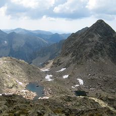
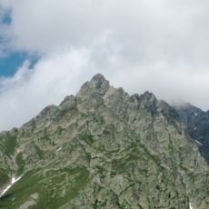
Monte Clapier is an Alpine summit rising to 3,045 meters (9,990 ft) that forms the border between France's Alpes-Maritimes and Italy's Province of Cuneo. The mountain features established hiking routes on both sides, making it accessible to climbers of varying experience levels.
Italian mountaineer Luigi Giovanni Fecia Cossato reached the summit for the first time in 1832 via the Entracque approach. This early ascent marked the beginning of climbing activity in this part of the Maritime Alps during the era when mountaineers were first exploring the region's peaks.
The mountain's name comes from the French word 'clapier', referring to stone piles used to mark the French-Italian border near the summit. This naming shows how local people have long used landscape features to find their way in these high mountains.
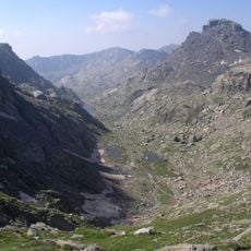
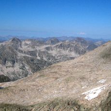
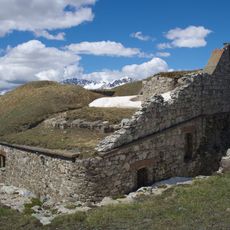
Access to the mountain is best arranged from the CAF refuge Madonna de Fenêtre, which serves as a base for ascending to the summit. The marked GR52 trail connects different routes and allows hikers to approach from either the French or Italian side depending on their starting point.
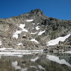
The mountain holds the southernmost glacier in the Alps on its Italian side, roughly 40 kilometers from the Mediterranean Sea. This small glacier is a rare feature for such a southern location and shows how the high peak maintains extreme cold conditions.
The community of curious travelers
AroundUs brings together thousands of curated places, local tips, and hidden gems, enriched daily by 60,000 contributors worldwide.