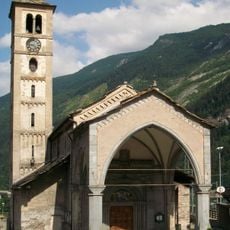
Pragelato, Italian comune
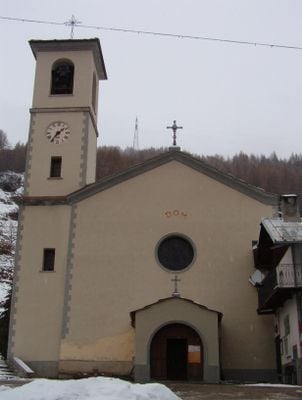
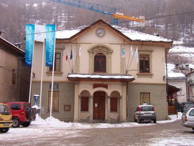
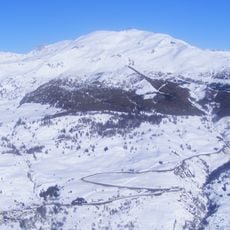
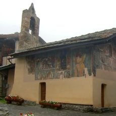
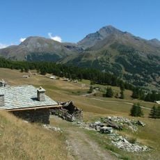
Pragelato is a small commune in the Metropolitan City of Turin situated in the western Alps. The settlement spreads across a mountain valley with homes positioned along the sloping hillside.
The area was settled by herders and farmers over many centuries as they adapted to the harsh mountain climate. These traditional settlement patterns continue to shape how the community is organized.
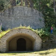
The name comes from Latin references to steep mountain paths that defined the region. Herding traditions remain visible in local celebrations and the way houses are built into the hillside.
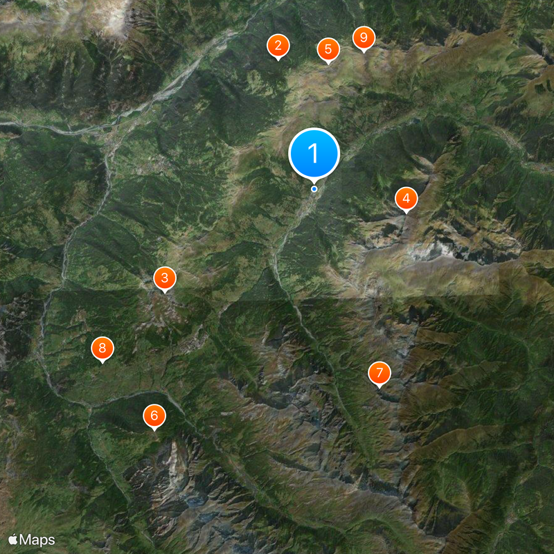
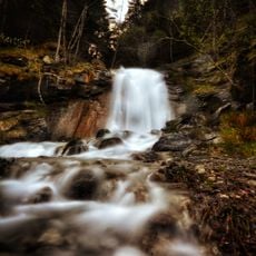
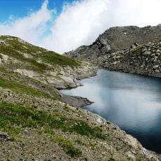
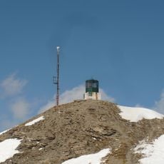
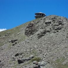
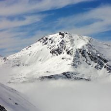
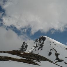
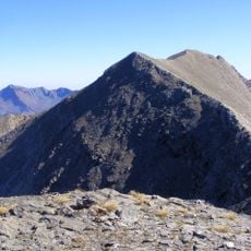
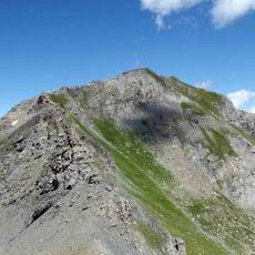
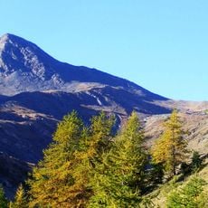
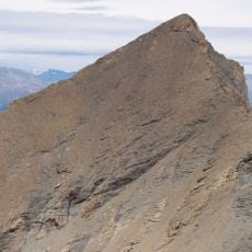
The village sits at high elevation in a mountain valley, so many trails are steep and require proper hiking equipment. Warmer months offer the best conditions for exploring when snow does not block the paths.
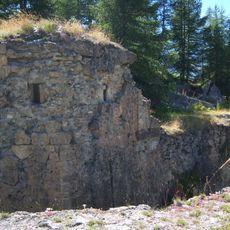
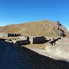
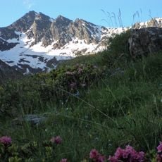
The settlement was historically a stopover point on ancient trade routes connecting France and Italy through the Alps. Traces of these paths remain visible in modern hiking trails and local place names.
The community of curious travelers
AroundUs brings together thousands of curated places, local tips, and hidden gems, enriched daily by 60,000 contributors worldwide.