Enable Location

We need your location to show you interesting places around you

Discover nearby places

Find interesting locations and hidden gems around you

Precise directions

Get accurate directions and distances to places

Your location is never shared with other users. It's only used when you tap the location button.

Macugnaga

Log in to your account

Start exploring — it's free

Trusted by 62,179 travelers worldwide

Continue with Google
Continue with Apple
or

We will send you a code to connect

By continuing, you accept our Terms and Conditions and our Privacy Policy

Check your inbox

We've sent a pincode in your inbox. Please enter the code below.

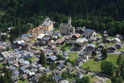
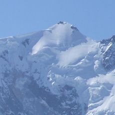
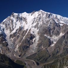
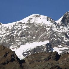
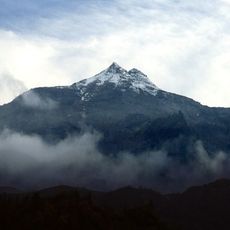
Macugnaga, Mountain municipality in Province of Verbano-Cusio-Ossola, Italy

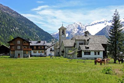
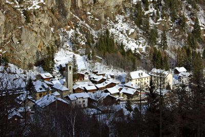
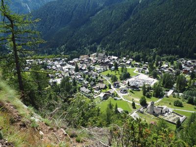
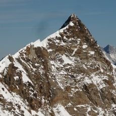
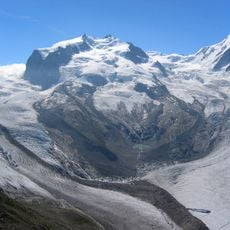
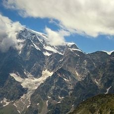
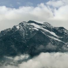
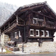
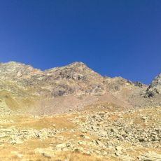
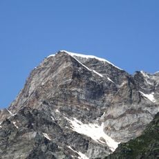
Macugnaga is a mountain settlement sitting around 1,300 meters high at the base of Monte Rosa, where traditional Alpine buildings define the landscape. Structures spread across the valley floor, showing stone walls and wooden details typical of the region.

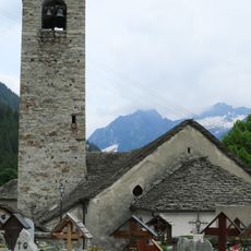
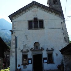
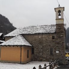
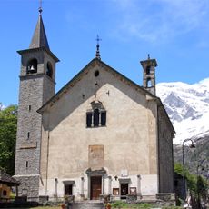
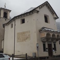
The settlement grew from the arrival of German-speaking farmers in the Middle Ages who moved into this Alpine valley and developed it. An old church from the 13th century marks the roots of this early community.

The Walser people, medieval settlers from German-speaking regions, left their mark on local building styles, speech, and daily customs that remain visible today. Throughout the settlement, stone structures and traditional crafts still reflect this heritage.

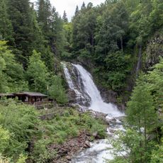
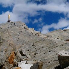
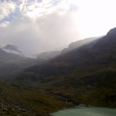
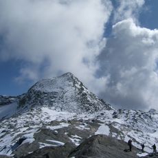
A cableway connects the town center to higher areas and provides access to hiking trails and ski slopes nearby. Sturdy footwear is important since many paths are steep and elevation changes quickly.

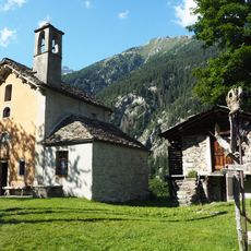
The Dorf district holds larch wood houses with Nordic designs and an old communal bakery still used once a year for bread making. These practices show how deeply traditional techniques have survived into the present day.

The community of curious travelers

AroundUs brings together thousands of curated places, local tips, and hidden gems, enriched daily by 60,000 contributors worldwide.

Start exploring
Capital city
Macugnaga
Elevation above the sea
1,327 m
Shares border with
Alagna Valsesia, Ceppo Morelli, Alto Sermenza, Carcoforo, Saas-Almagell, Zermatt
Address
Comune, Piazza Municipio, 1, 28876 Staffa VB
GPS coordinates
45.96667,7.96667
Latest update
December 14, 2025 18:04
« Macugnaga - Mountain municipality in Province of Verbano-Cusio-Ossola, Italy » is provided by Around Us (aroundus.com). Images and texts are derived from Wikimedia project under a Creative Commons license. You are allowed to copy, distribute, and modify copies of this page, under the conditions set by the license, as long as this note is clearly visible.

Discover hidden gems everywhere you go!

From secret cafés to breathtaking viewpoints, skip the crowded tourist spots and find places that match your style. Our app makes it easy with voice search, smart filtering, route optimization, and insider tips from travelers worldwide. Download now for the complete mobile experience.

Around Us App Screenshot

A unique approach to discovering new places

Le Figaro

All the places worth exploring

France Info

A tailor-made excursion in just a few clicks

20 Minutes

Around Us
Travel Guide & Maps
Download

Send to your phone

QR Code
1

Open the camera app on your mobile.

2

Point at the QR code with your camera. A notification will appear.

3

Tap the notification to open the link.