Castiglion Fiorentino, Medieval hilltop commune in Tuscany, Italy
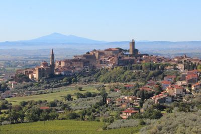
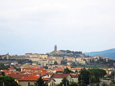
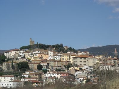
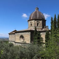
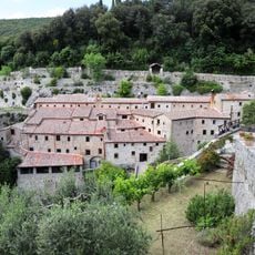
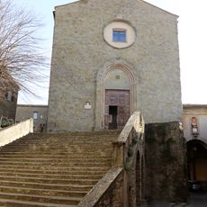
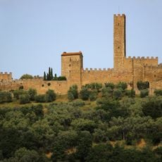
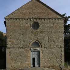
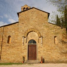
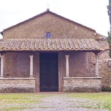
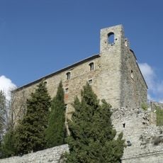
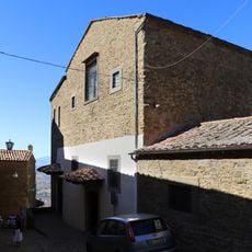
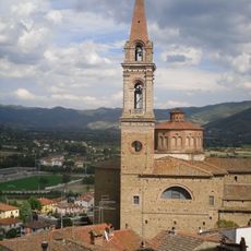
Castiglion Fiorentino is a walled medieval town set on a hillside in eastern Tuscany between Arezzo and Cortona. Its layout follows the traditional medieval pattern with gates, narrow streets, and stone fortifications that lead upward to the central Cassero tower.
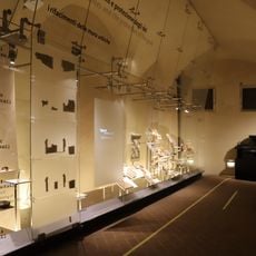
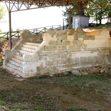
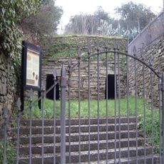
Etruscan city walls from the 4th century BC lie beneath the Piazzale del Cassero, showing that settlement here dates back to ancient times. The medieval town then developed around its fortified position overlooking the valleys, becoming an important waypoint in the region.
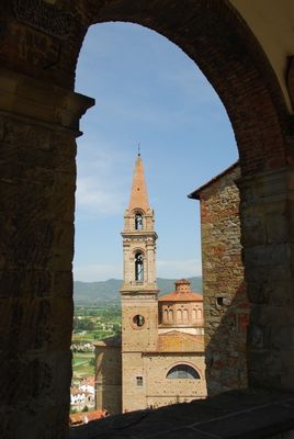
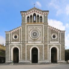
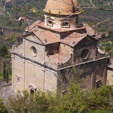
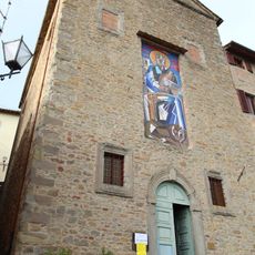
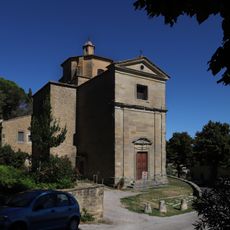
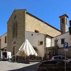
The town's artistic heritage is woven into its daily spaces, with works by local masters and visiting artists creating a visual story across its buildings. Visitors can sense how creativity shaped local identity and continues to influence the way people gather and celebrate here.
The town is best explored on foot since narrow alleys and steep paths make vehicle access difficult through most of it. Wear sturdy shoes and allow time to climb through different levels and reach higher viewpoints like the tower for better perspective on the layout.
The Palio dei Rioni horse race takes place every third Sunday of June, with residents from different quarters of town wearing historic colors and waving flags during the event. This centuries-old tradition brings the entire community together in a celebration that reflects local pride and rivalry between neighborhoods.
The community of curious travelers
AroundUs brings together thousands of curated places, local tips, and hidden gems, enriched daily by 60,000 contributors worldwide.