
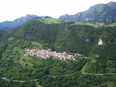
Magasa, Italian comune
Location: Province of Brescia
Capital city: Magasa
Elevation above the sea: 978 m
Shares border with: Bondone, Ledro, Tignale, Valvestino, Tremosine
Website: http://comune.magasa.bs.it
GPS coordinates: 45.78640,10.62910
Latest update: May 27, 2025 07:13
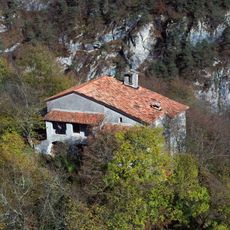
Saint Michael hermitage
5.6 km
Monte Tombea
2.2 km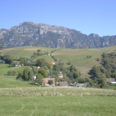
Monte Caplone
2 km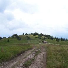
Monte Stino
6.5 km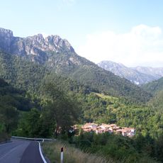
Monte Cingla
4.8 km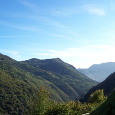
Monte Camiolo
3.7 km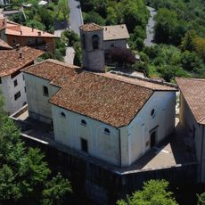
Nativity of Mary church
6.7 km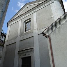
Saint Anthony the Great church
1 km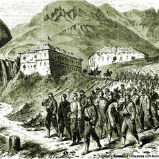
Fort d'Ampola
6.4 km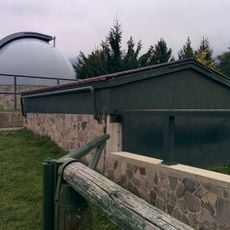
Osservatorio astronomico di Cima Rest
1.2 km
Cima Mughera
7.1 km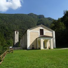
Saint John the Baptist church
3.7 km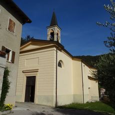
Saints Bernard and Martin church
7.6 km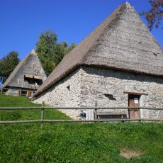
Museo etnografico della Valvestino
1.1 km
Bondone
6.5 km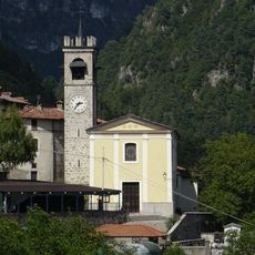
Saints Simon and Jude church
3.1 km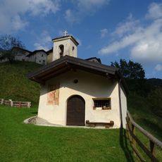
Saint Lawrence church
1.7 km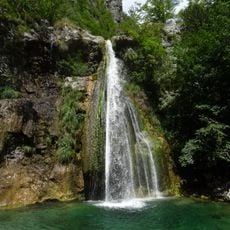
Ampola waterfall
6.4 km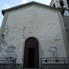
Saint Michael church
6.4 km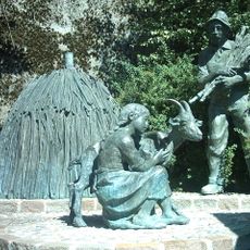
Monumento al carbonaio
6.4 km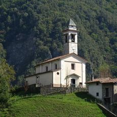
Saint Roch church
3.9 km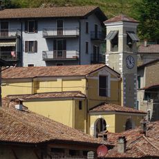
Saint Bartholomew church
4.8 km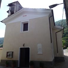
Saint Matthew church
4.5 km
Rete di riserve Alpi Ledrensi
4.5 km
Madonna di Plos chapel
5.7 km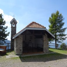
Redeemer chapel
6.6 km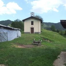
Saint Vigilius church
3.7 km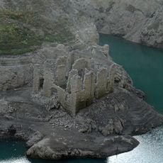
Border checkpoint of Lignago
6.9 kmVisited this place? Tap the stars to rate it and share your experience / photos with the community! Try now! You can cancel it anytime.
Discover hidden gems everywhere you go!
From secret cafés to breathtaking viewpoints, skip the crowded tourist spots and find places that match your style. Our app makes it easy with voice search, smart filtering, route optimization, and insider tips from travelers worldwide. Download now for the complete mobile experience.

A unique approach to discovering new places❞
— Le Figaro
All the places worth exploring❞
— France Info
A tailor-made excursion in just a few clicks❞
— 20 Minutes