Ventimiglia, Border town in Liguria, Italy
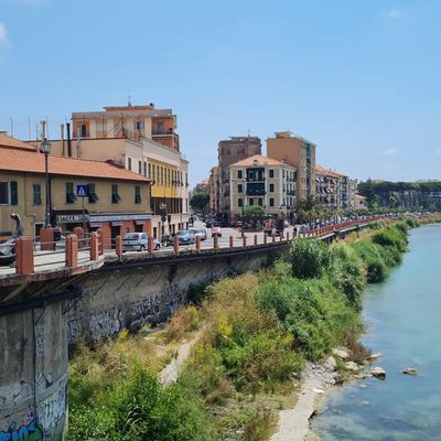
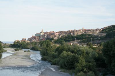
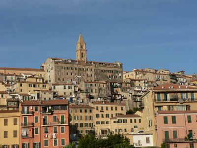
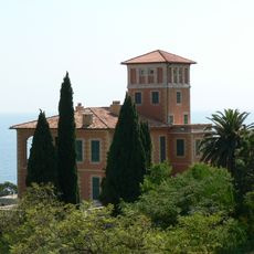
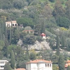
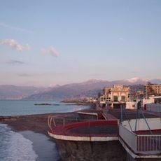
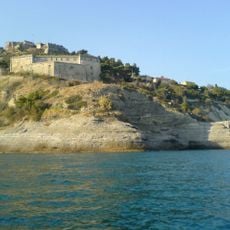
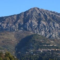
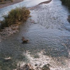
Ventimiglia is a town on the Ligurian coast in the Province of Imperia, spreading across both banks of the Roja river. The medieval district sits on the Cavo hill, while modern quarters extend across the surrounding plain toward the French border.
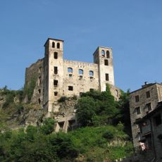
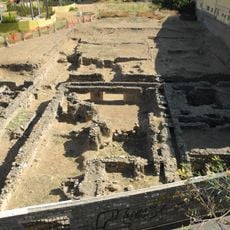
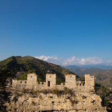
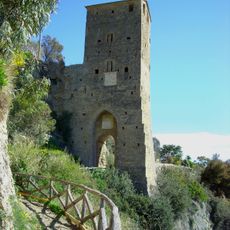
The Romans founded Albintimilium here, which was later destroyed by Germanic invasions. During the Middle Ages residents moved to the Cavo hill, and the town shifted between Genoese and Savoyard control until it became part of the Kingdom of Italy in 1861.
The name comes from the Roman settlement Albintimilium, which grew around a Celtic-Ligurian core. The town has a lively market tradition on Friday mornings, when vendors from France and Italy offer their goods along the streets of the old quarter.
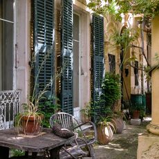
The railway station connects the town with French and Italian destinations along the coast. The old quarter on the hill is reached on foot through steep lanes, while the modern lower town is flatter and easier to navigate.
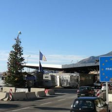
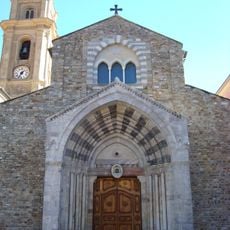
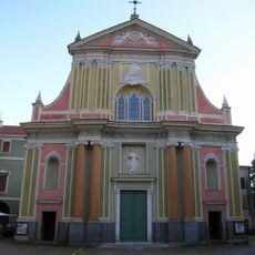
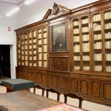
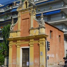
The cathedral in the old quarter has an 11th-century Romanesque portal, one of the oldest surviving entrances in the region. Nearby, a promenade follows the coastline into France, where walkers can cross the border without checks.
Location: Province of Imperia
Capital city: Ventimiglia
Elevation above the sea: 9 m
Shares border with: Airole, Camporosso, Dolceacqua, Olivetta San Michele, Castellar, Menton
Address: 18039 Ventimiglia, Province of Imperia, Italy
Website: https://comune.ventimiglia.im.it
GPS coordinates: 43.79028,7.60833
Latest update: December 4, 2025 23:42
Balzi Rossi
5.9 km
Hanbury botanical gardens
4.4 km
Doria castle in Dolceacqua
7.1 km
Jardin botanique exotique de Menton
7.8 km
Pont Saint-Ludovic
6.3 km
Les Colombières
7.4 km
Ventimiglia Cathedral
467 m
Albintimilium
1.5 km
Fontana Rosa
7.6 km
Avant-poste de Pont-Saint-Louis
6.4 km
Grotte du Cavillon
5.9 km
Mont Grammont
9.9 km
Fortezza dell'Annunziata
1 km
Roc d'Ormea
8.3 km
Sant'Antonio Abate
6.8 km
I Settore di Copertura Bassa Roja
8.9 km
Le Clos du Peyronnet
6.9 km
Forte San Paolo
1.1 km
Fiume Roia
3.2 km
Biblioteca civica Aprosiana
221 m
Archaeological museum "Girolamo Rossi"
1 km
Chapelle Saint-Jacques de Menton
7.8 km
Giardini Pubblici (parke sa Italya, Liguria)
133 m
Monte Grammondo - Torrente Bevera
8 km
San Giorgio
6.3 km
Museo preistorico dei Balzi Rossi
6 km
Parc Départemental du Pian
7.6 km
Loggia del Parlamento
533 mReviews
Visited this place? Tap the stars to rate it and share your experience / photos with the community! Try now! You can cancel it anytime.
Discover hidden gems everywhere you go!
From secret cafés to breathtaking viewpoints, skip the crowded tourist spots and find places that match your style. Our app makes it easy with voice search, smart filtering, route optimization, and insider tips from travelers worldwide. Download now for the complete mobile experience.
A unique approach to discovering new places❞
— Le Figaro
All the places worth exploring❞
— France Info
A tailor-made excursion in just a few clicks❞
— 20 Minutes