Campo Imperatore

Log in to your account

AroundUs is a community-driven map of interesting places, built by curious explorers like you. It grows with every review, story, and photo you share.
Connect to save your favorite spots, contribute locations, and create personalized routes.
Continue with Google
Continue with Apple
Continue with X
Continue with Facebook
Continue with email
By continuing, you accept our Terms and Conditions and our Privacy Policy
Create an account
Add to collection
Map
Suggest a change
Share

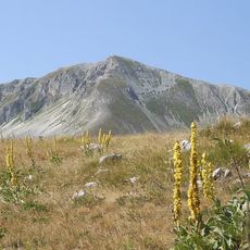
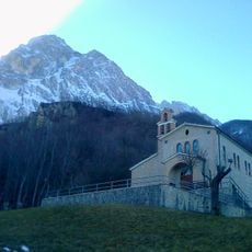
Campo Imperatore, Mountain pasture and plateau in Gran Sasso e Monti della Laga National Park, Italy.

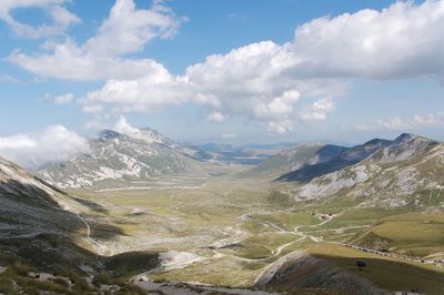
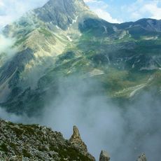
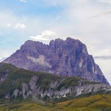
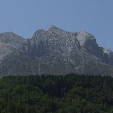
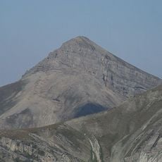
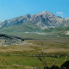
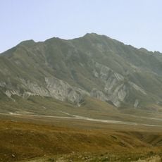
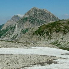
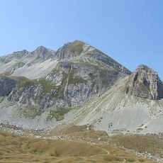
Campo Imperatore is a mountain pasture and plateau within Gran Sasso e Monti della Laga National Park, lying between 1,500 and 1,900 meters (4,900 and 6,200 feet) in elevation. The area stretches 27 kilometers (17 miles) in length and eight kilometers (5 miles) in width, forming one of the largest high plains in the Apennines.

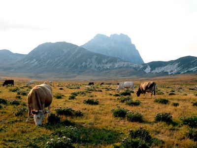
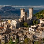
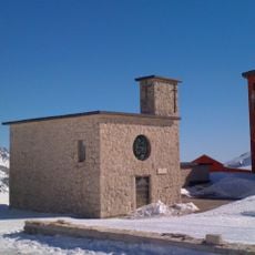
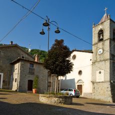
In September 1943, Benito Mussolini was held at the Campo Imperatore Hotel until German paratroopers freed him in a commando raid. The plateau had served for centuries as grazing land for sheep herders from surrounding valleys, who drove their animals uphill each summer.

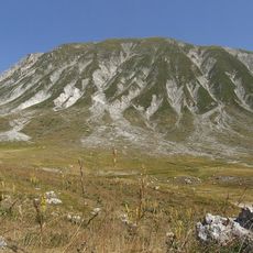
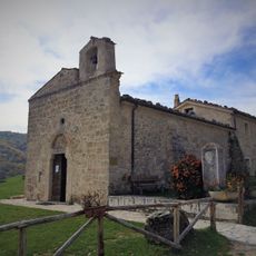
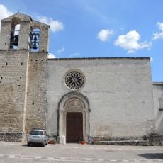
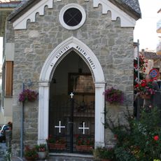
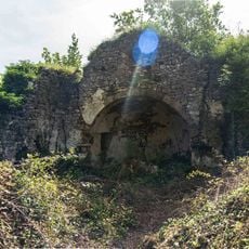
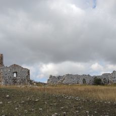
The pasture earned the nickname "Little Tibet" because the summer landscape recalls Asian steppe regions, with sheep herds grazing freely on short grass. Some shepherds still live in simple stone huts scattered across the plateau during the warmer months, structures that once served as shelters for herders.

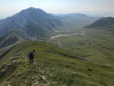
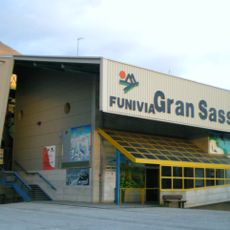
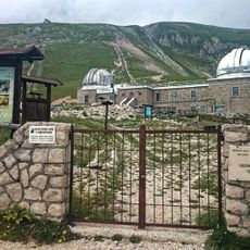
A cable car from Fonte Cerreto rises to the plateau, saving the long climb on foot; in winter, it serves as the main access to the ski area. Most hiking trails start near the upper cable car station, where lodging and restaurants are also located.

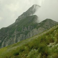
An Alpine Botanical Garden preserves around 300 plant species found only in these mountains and supports research projects on rare alpine vegetation. Several Western films were shot on the plateau, including scenes from productions meant to represent North America.

Location: Pietracamela

GPS coordinates: 42.44370,13.55833

Latest update: December 12, 2025 17:57

Photos
Cultural sites and natural areas in Abruzzo

Abruzzo brings together medieval villages, Roman sites, and mountain landscapes. Rocca Calascio rises to 1,460 meters (4,790 feet), offering views across the region from its ancient fortress walls. Gran Sasso and Majella national parks welcome hikers to explore trails through mountain terrain, where...

Abruzzes: nature, mountain villages, Italian history sites

The Abruzzes stretch between the peaks of the Apennines and the Adriatic Sea. The landscape changes from high mountains to sandy beaches in a few miles. This part of Italy has three parks where hikers and skiers walk the paths in the Gran Sasso and Majella. Along the coast, old fishing platforms...

Reviews

Visited this place? Tap the stars to rate it and share your experience / photos with the community! Try now! You can cancel it anytime.

« Campo Imperatore - Mountain pasture and plateau in Gran Sasso e Monti della Laga National Park, Italy » is provided by Around Us (aroundus.com). Images and texts are derived from Wikimedia project under a Creative Commons license. You are allowed to copy, distribute, and modify copies of this page, under the conditions set by the license, as long as this note is clearly visible.

Discover hidden gems everywhere you go!

From secret cafés to breathtaking viewpoints, skip the crowded tourist spots and find places that match your style. Our app makes it easy with voice search, smart filtering, route optimization, and insider tips from travelers worldwide. Download now for the complete mobile experience.

Around Us App Screenshot

A unique approach to discovering new places

Le Figaro

All the places worth exploring

France Info

A tailor-made excursion in just a few clicks

20 Minutes