Baffelan, Mountain summit in Venetian Prealps, Italy
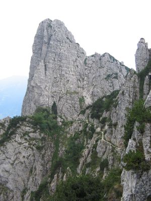
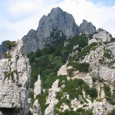
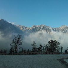
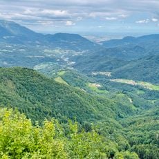
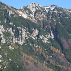
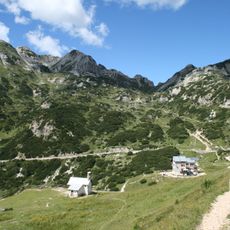
Baffelan is a rocky summit in the Venetian Prealps of northern Italy, part of the Sengio Alto mountain range. The peak rises steeply above forested slopes and alpine meadows, with a sharp rocky face that makes it clearly recognizable from the valleys below.
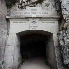
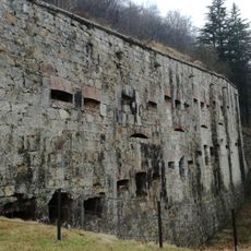
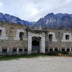
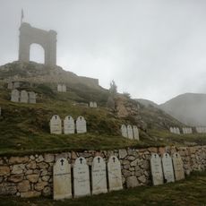
The area around Baffelan saw fighting during World War One, as the front line ran through the Venetian Prealps in this part of northern Italy. Traces of that period, such as old trenches and defensive positions, can still be found on the surrounding slopes.
The name Baffelan comes from the Venetian dialect word for mustache, referring to the shape of the rocky ridge as seen from below. This kind of naming tradition is common in the Venetian Prealps, where peaks are often named after the shapes locals saw in them.
The most common starting point is the Campogrosso area, where marked trails lead toward the summit. The final stretch to the top involves rocky terrain, so sturdy footwear and a head for heights are helpful.
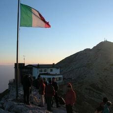
The very top of Baffelan is only reachable via a via ferrata route, which sets it apart from many other peaks in the area that can be walked to the top. This means some basic experience with fixed-rope mountain routes is needed before attempting the final section.
The community of curious travelers
AroundUs brings together thousands of curated places, local tips, and hidden gems, enriched daily by 60,000 contributors worldwide.