Cima Ciantiplagna, Mountain summit in Cottian Alps, Italy
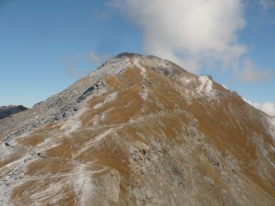
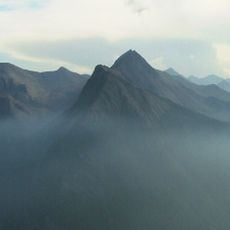
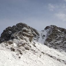
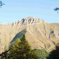
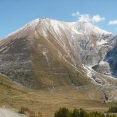
Cima Ciantiplagna is a mountain in the Cottian Alps located between the Susa Valley and Chisone Valley in the Province of Turin. The peak has steep sides and offers open views across the surrounding alpine landscape.
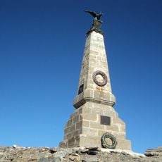
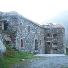
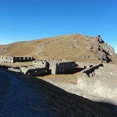
An abandoned military road from the 1880s crosses this area and once connected strategic positions across the alpine region. Traces of this past construction remain visible on the route.
The summit marks a significant point along hiking trails that traverse the protected natural area of Parco naturale Orsiera - Rocciavrè.
A marked T2 hiking trail leads to the summit from the military road between Sestriere and Colle delle Finestre. The climb requires moderate fitness and sturdy footwear for steeper sections.
The mountain ranks as the fourth highest peak among 1,213 summits in the Turin province, with a prominence of 673 meters.
The community of curious travelers
AroundUs brings together thousands of curated places, local tips, and hidden gems, enriched daily by 60,000 contributors worldwide.