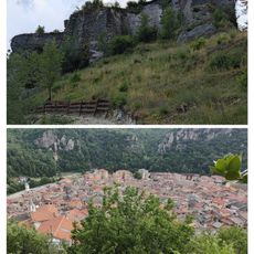
Monte Antoroto, Mountain summit in the Ligurian Alps, Piedmont, Italy
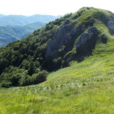
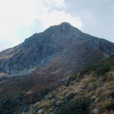
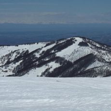
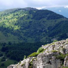
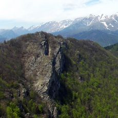
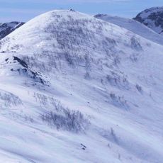
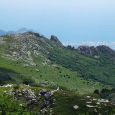
Monte Antoroto is a 2,144 m summit of the Ligurian Alps in Piedmont, on the watershed between the upper Tanaro valley and the Casotto valley. It is made of sedimentary limestone, and a rounded, grassy subsummit a few metres lower stands just west of the true top. The Colla Bassa saddle (1,851 m) separates it from Monte Grosso to the east.
Monte Antoroto lies on the watershed between the upper Tanaro valley and the Casotto valley, and the Colla dei Termini and Colla Bassa saddles (1,851 m) on its ridge have long carried paths between the Piedmontese valleys. The mountain is part of the Monte Antoroto Site of Community Interest (code IT1160035), whose conservation measures were approved by the Piedmont Region in 2016.
The summit is a viewpoint over the Piedmont plain and the Ligurian coast: on clear days the eye passes the Armetta-Galero ridge to the Ligurian Sea and the Gulf of Genoa, and northward from the Monviso to Monte Rosa. Two huts serve walkers, the Rifugio Angelo Manolino and the Rifugio Savona above Valdinferno.
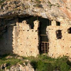
The summit can be reached from Valcasotto on a waymarked path with about 1,200 m of ascent, or more briefly from Valdinferno, a hamlet of Garessio. From Borgata Cascine in Ormea a CAI-marked trail passes Rocca degli Uccelli and reaches the top in about two hours. Rifugio Angelo Manolino and Rifugio Savona, above Valdinferno, serve as support points.
The summit's view reaches the Ligurian Sea and the Gulf of Genoa only when the air is clear enough, since the Armetta-Galero ridge stands in the way to the south. The mountain lies within the Monte Antoroto Site of Community Importance (IT1160035), whose conservation measures Piedmont approved in 2016.
The community of curious travelers
AroundUs brings together thousands of curated places, local tips, and hidden gems, enriched daily by 92,890 contributors worldwide.