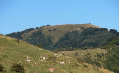
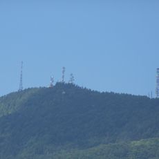
Monte Buio, Mountain peak in Ligurian Apennines, Italy
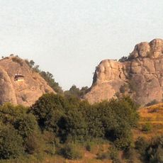
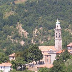
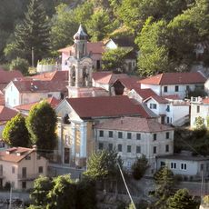
Monte Buio is a mountain peak in the Ligurian Apennines standing at about 1400 meters (4600 feet) and forms a natural border between the provinces of Genoa and Alessandria. The summit is marked by a large cross and its slopes descend into three valleys: Brevenna, Borbera, and Vobbia.
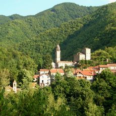
The mountain has long served as a geographic marker for surrounding communities and helped define boundaries between regions. In 1989, the Ligurian side was incorporated into the Antola Regional Natural Park, formalizing its protection.
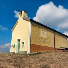
The large cross at the summit serves as a gathering point where hikers and locals come together, especially on clear days when the surrounding valleys are visible. It marks where provincial and regional boundaries meet, functioning as a natural landmark that shapes how nearby communities perceive their territory.
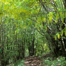
Several hiking paths lead to the summit from different starting points including Alpe, Vallenzona, and Tonno in Valbrevenna, as well as via the mountain passes of Incisa and San Fermo. The best time to visit is May through October when weather conditions are more stable and paths remain easily accessible.
The summit marks a critical point where river systems divide: the western side drains toward the Ligurian Sea while the eastern side drains toward the Adriatic Sea. This watershed system is fundamental to the region's geology and often goes unnoticed by visitors.
The community of curious travelers
AroundUs brings together thousands of curated places, local tips, and hidden gems, enriched daily by 60,000 contributors worldwide.