Enable Location

We need your location to show you interesting places around you

Discover nearby places

Find interesting locations and hidden gems around you

Precise directions

Get accurate directions and distances to places

Your location is never shared with other users. It's only used when you tap the location button.

Monte Sillara

Log in to your account

Start exploring — it's free

Trusted by 62,164 travelers worldwide

Continue with Google
Continue with Apple
or

We will send you a code to connect

By continuing, you accept our Terms and Conditions and our Privacy Policy

Check your inbox

We've sent a pincode in your inbox. Please enter the code below.

Monte Sillara

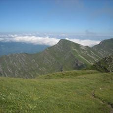
Monte Sillara, Mountain summit in Emilia-Romagna and Tuscany, Italy.

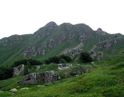
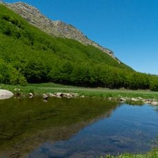
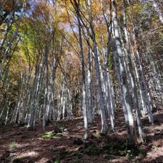
Monte Sillara is a mountain summit rising to 1,861 meters between Emilia-Romagna and Tuscany. Its northeastern slopes contain two alpine lakes, while the southwestern side drops through rocky and exposed terrain.

The peak stands as the highest point in the Appennino Parmense and has long served as a natural boundary between the provinces of Parma and Massa-Carrara. Its position as a border landmark has shaped settlement patterns and mountain use across many centuries.

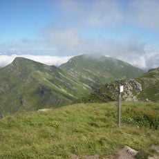
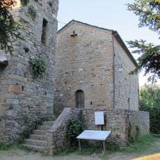
The mountain marks an important waypoint for hikers following the E1 long-distance trail and connecting with other mountain users across the region. The small shelters and mountain communities nearby show how people have adapted to living and working at this elevation for generations.

Three main hiking routes with clear trail markers guide visitors up to the summit from different starting villages. Each route offers a distinct approach to the mountain, allowing hikers to choose based on their starting point and preferred difficulty.

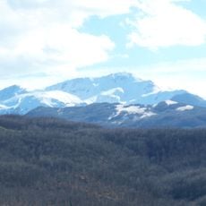
On clear days, visitors can see the Tuscan Archipelago islands and even Corsica from the peak, revealing the wide scope of views from this vantage point. The two alpine lakes above 1,730 meters were carved by glacial action and remain as geological reminders of the mountain's past.

The community of curious travelers

AroundUs brings together thousands of curated places, local tips, and hidden gems, enriched daily by 60,000 contributors worldwide.

Start exploring
Location
Location
Elevation above the sea
1,861 m
GPS coordinates
44.36717,10.06329
Latest update
December 12, 2025 14:22
« Monte Sillara - Mountain summit in Emilia-Romagna and Tuscany, Italy » is provided by Around Us (aroundus.com). Images and texts are derived from Wikimedia project under a Creative Commons license. You are allowed to copy, distribute, and modify copies of this page, under the conditions set by the license, as long as this note is clearly visible.

Discover hidden gems everywhere you go!

From secret cafés to breathtaking viewpoints, skip the crowded tourist spots and find places that match your style. Our app makes it easy with voice search, smart filtering, route optimization, and insider tips from travelers worldwide. Download now for the complete mobile experience.

Around Us App Screenshot

A unique approach to discovering new places

Le Figaro

All the places worth exploring

France Info

A tailor-made excursion in just a few clicks

20 Minutes

Around Us
Travel Guide & Maps
Download

Send to your phone

QR Code
1

Open the camera app on your mobile.

2

Point at the QR code with your camera. A notification will appear.

3

Tap the notification to open the link.