
Abete rosso
Location: Claut
Elevation above the sea: 1,320 m
Height: 27 m
Address: Malga Senons - Cima Naritas
GPS coordinates: 46.33227,12.62792
Latest update: May 15, 2025 22:03
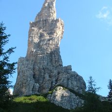
Campanile di Val Montanaia
13.3 km
Parco naturale delle Dolomiti Friulane
4.8 km
Monte Bìvera
12.2 km
Bivouac Giuliano Perugini
13.3 km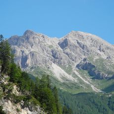
Monte Pramaggiore
6.8 km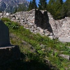
Saquidic Castle
8.3 km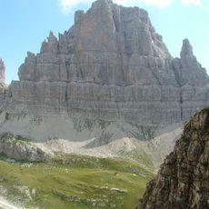
Croda Montanaia
13.5 km
Cima Both
13.8 km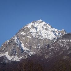
Monte Tinisa
11.4 km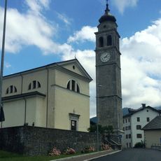
Santa Maria Assunta
10.1 km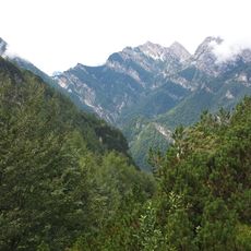
Cornaget
4 km
San Nicolò Vescovo
14.3 km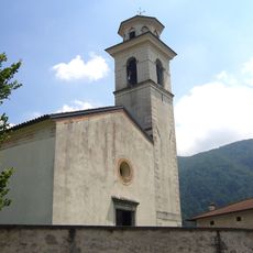
Santa Maria Maggiore
13.9 km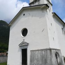
San Floriano
12.6 km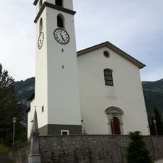
Santa Maria del Rosario
7.5 km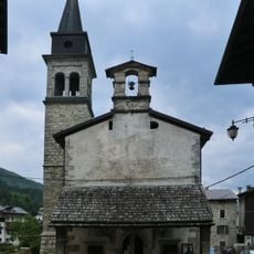
San Giacomo, Forni di Sopra
10.9 km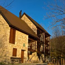
Scout Base Andreis
14.1 km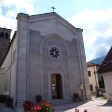
Santa Maria delle Grazie
14.7 km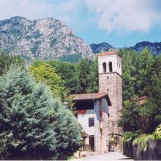
Chiesa di Sant'Osvaldo Re
14.4 km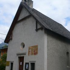
San Vito
9.3 km
San Floriano
10.2 km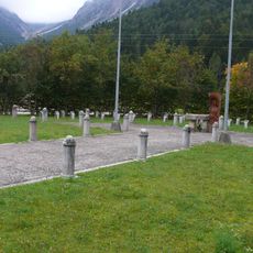
Parco delle Rimembranze
9.9 km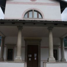
Madonna della Salute
10.6 km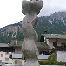
La donna velata nel vento
10.9 km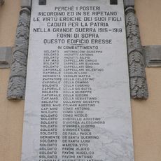
War memorial 1915-1918
10.6 km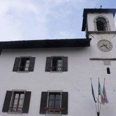
Palazzo del Municipio vecchio
10.9 km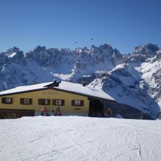
Casera Varmost
14.1 km
Monti Bivera e Clapsavon
12.8 kmReviews
Visited this place? Tap the stars to rate it and share your experience / photos with the community! Try now! You can cancel it anytime.
Discover hidden gems everywhere you go!
From secret cafés to breathtaking viewpoints, skip the crowded tourist spots and find places that match your style. Our app makes it easy with voice search, smart filtering, route optimization, and insider tips from travelers worldwide. Download now for the complete mobile experience.

A unique approach to discovering new places❞
— Le Figaro
All the places worth exploring❞
— France Info
A tailor-made excursion in just a few clicks❞
— 20 Minutes