Monte Pramaggiore, Mountain summit in Friuli Venezia Giulia, Italy.
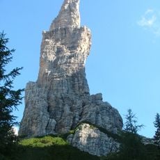
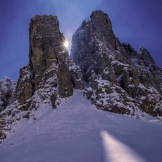
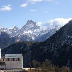
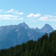
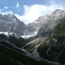
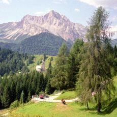
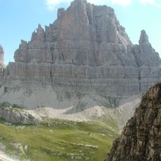
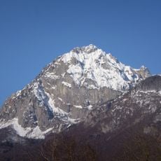
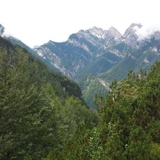
Monte Pramaggiore is a summit in the Dolomites region of northeastern Italy reaching approximately 2478 meters in elevation. The mountain displays steep slopes and deep valleys carved into limestone rock throughout its structure.
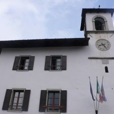
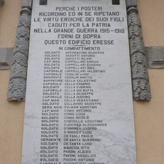
The sources record no first ascent or climbing history for Monte Pramaggiore. Its documented past concerns boundaries and protected status: the summit marks the border between the province of Udine (Carnia) and that of Pordenone, and the mountain lies within the Parco naturale delle Dolomiti Friulane. The German source adds that it stands on the municipal boundary between Claut and Forni di Sopra.
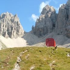
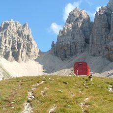
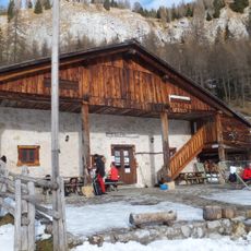
The mountain lies within the Parco naturale delle Dolomiti Friulane, and its summit marks the border between the province of Udine (Carnia) and that of Pordenone. The Friulian name Pramaiôr is still used for the peak. On the slopes, the malghe (summer dairy farms) such as Casera Pramaggiore at 1812 m are the visible trace of pastoral use of the high pastures.
The usual ascent starts from Rifugio Pussa (940 m) in Val Settimana, reached by the Strada della Val Settimana from Claut. A path leads to Casera Pramaggiore (1812 m), then trail 366 to Forcella Pramaggiore (2295 m), where a track branches to the summit. Alternatives start from Rifugio Pordenone to the west or from Andrazza in the upper Tagliamento valley.
The summit marks the border between the province of Udine (Carnia) and the province of Pordenone, inside the Parco naturale delle Dolomiti Friulane. The mountain also lies on the municipal boundary between Claut and Forni di Sopra. Its Friulian name is Pramaiôr.
The community of curious travelers
AroundUs brings together thousands of curated places, local tips, and hidden gems, enriched daily by 93,848 contributors worldwide.