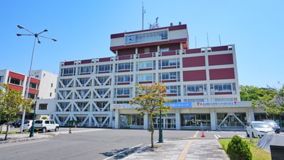
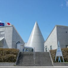
Yurihonjo, Coastal city in Akita Prefecture, Japan
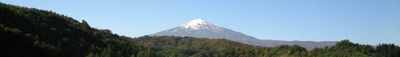
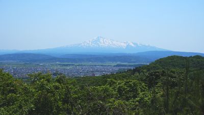
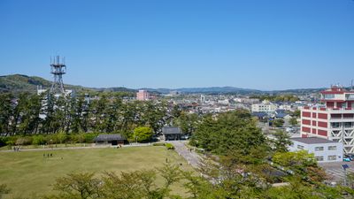
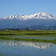
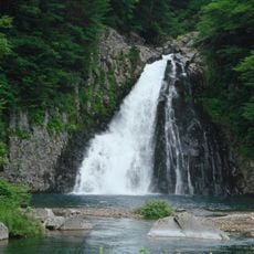
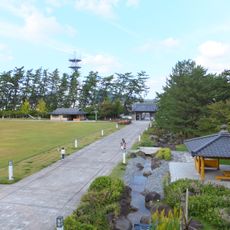
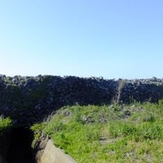
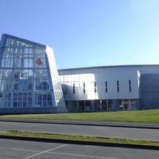
Yurihonjo is a coastal city in Akita Prefecture that spreads across a wide area with mountain landscapes, rivers, and cultivated fields. Built-up centers alternate with open countryside, where rice paddies and gentle hills shape the view and mark the transition between the sea and the inland.
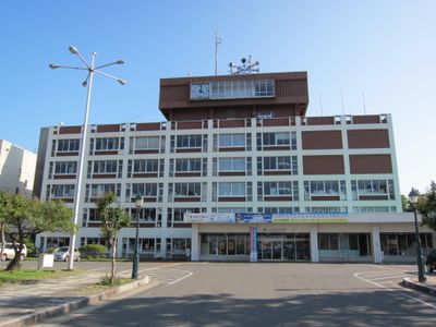
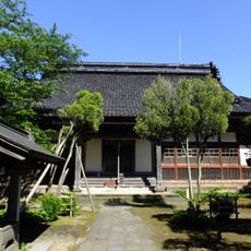
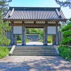
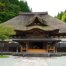
The city formed in 2005 through the merger of several towns, including the historic Honjo, where a castle stood until 1868. The fortress served as the seat of local rulers before it was destroyed during political upheaval, and today only traces remain visible in the cityscape.
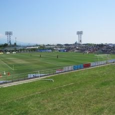
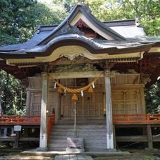
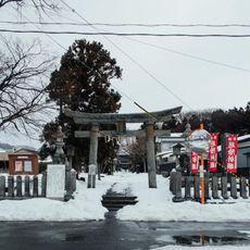
The Kurikoma Matsuri brings people together for dance performances passed down through generations. The event shows how rituals and festivals continue to shape everyday life in rural Japan, and how the community reinforces its identity through shared experiences.
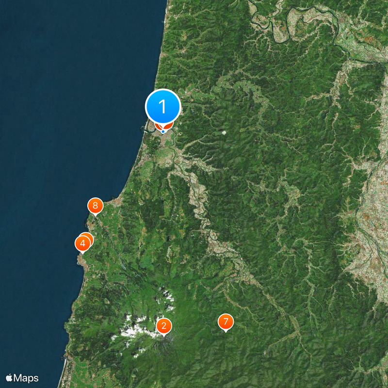
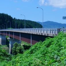
Travelers reach the city via Highway 7 along the coast or get off at Ugohonjo Station, which receives direct overnight connections from Tokyo and Kyoto. The area is best explored by car, as many sights lie outside the town centers and public transport runs less frequently.
Many restaurants serve kiritanpo, a rice preparation found only in Akita Prefecture. Cooked rice is shaped around wooden sticks, grilled over an open fire, and then eaten in broth or with miso, giving the dish a smoky note.
The community of curious travelers
AroundUs brings together thousands of curated places, local tips, and hidden gems, enriched daily by 60,000 contributors worldwide.