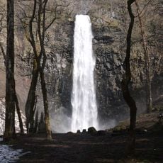
Mount Chōkai, Active volcano in Akita and Yamagata, Japan
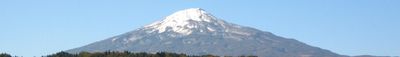
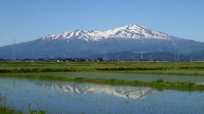
Mount Chōkai is a 2,236-meter (7,336-foot) volcano straddling the border between Akita and Yamagata prefectures, its cone-shaped silhouette visible from both sides across wide distances. The summit rises above several tiered slopes marked by deep erosion gullies and lava flows.
The volcano erupted twice in the 9th century, with events in 810 and 840 that sent ash across wide areas of the surrounding region. A steam explosion in 1974 led to the temporary evacuation of several villages on the lower slopes.
The peak carries three different local nicknames that all reference Fuji, reflecting how communities on each side claim the cone shape as their own landmark. Fishermen and farmers used these names for centuries to predict weather patterns and mark the changing seasons.
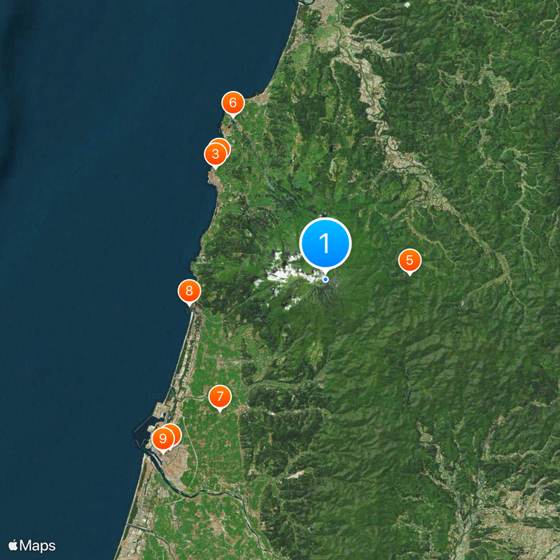
Several trails lead to the summit, with the route starting from Yashima considered the most accessible and offering mountain huts and rest areas along the way. The climbing season typically runs from early July to mid-September, when trails are free of snow and huts remain open.
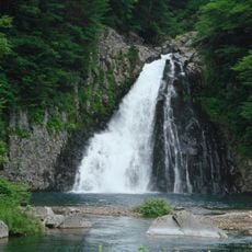
Snow on the southern slope persists through summer months in the shape of the Japanese character for heart, a pattern visible from the valley below. This formation, known as Shinji Sekkei, serves as a traditional signal for the start of rice planting season.
The community of curious travelers
AroundUs brings together thousands of curated places, local tips, and hidden gems, enriched daily by 60,000 contributors worldwide.