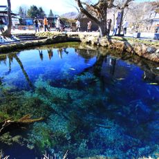
Sagami River, Major river system in Kanagawa and Yamanashi Prefectures, Japan
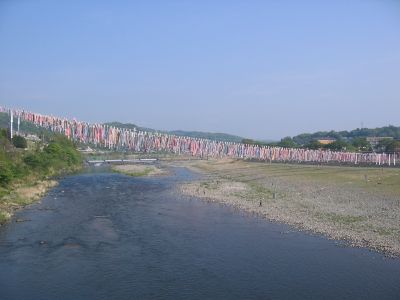
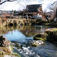
The Sagami River is a 109-kilometer waterway that flows from Lake Yamanaka through mountain valleys and lowland plains before reaching Sagami Bay near Yokohama. A series of dams, including Sagami Dam and Shiroyama Dam, harness the river's flow for hydroelectric power generation serving the region's industries.
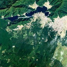
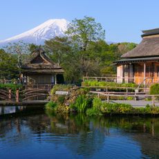
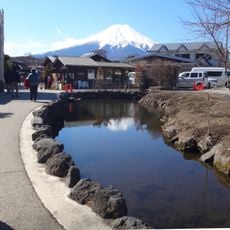
Mount Fuji's volcanic eruptions repeatedly redirected the river's course throughout history, leaving visible terraces in Yamanashi Prefecture as proof of these shifts. These natural changes shaped where and how people could settle along the waterway.
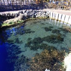
Sweetfish have shaped the relationship between local communities and the river for centuries, influencing food traditions and seasonal activities. The fish remain central to how people interact with and think about the waterway today.
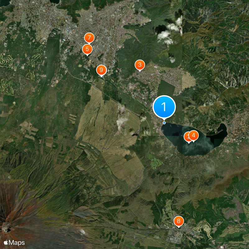
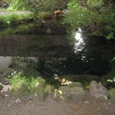
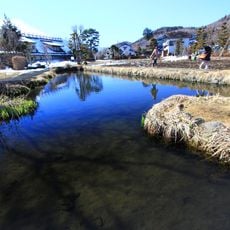
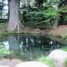
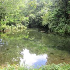
The river is accessible at many points, especially along walking trails and observation areas in the valleys. Spring and autumn offer the most comfortable conditions for visiting and exploring the surrounding landscapes.
The waterway goes by three different names along its course: Katsura River in the upper reaches, Sagami in the middle sections, and Banyu River near its mouth. These name changes reflect natural boundaries between regions and how local geography shaped historical naming conventions.
The community of curious travelers
AroundUs brings together thousands of curated places, local tips, and hidden gems, enriched daily by 60,000 contributors worldwide.