Enable Location

We need your location to show you interesting places around you

Discover nearby places

Find interesting locations and hidden gems around you

Precise directions

Get accurate directions and distances to places

Your location is never shared with other users. It's only used when you tap the location button.

Semboku district

Log in to your account

Start exploring — it's free

Trusted by 62,035 travelers worldwide

Continue with Google
Continue with Apple
or

We will send you a code to connect

By continuing, you accept our Terms and Conditions and our Privacy Policy

Check your inbox

We've sent a pincode in your inbox. Please enter the code below.

Semboku district

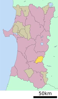
Semboku district, Administrative district in Akita Prefecture, Japan

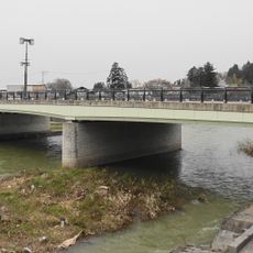
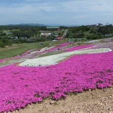
Semboku district covers the central portion of Akita Prefecture and encompasses mountains, dense forests, and Lake Tazawa throughout its territory. The landscape combines natural features with established towns and rural communities spread across the area.

Semboku was established in December 1878 during Japan's Meiji period when the country reorganized its administrative structure nationwide. The district was formed from territories that previously belonged to the former Dewa Province before this major governmental shift.

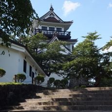
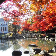
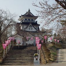
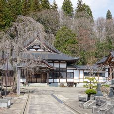
Kakunodate's samurai quarter features narrow lanes lined with traditional wooden houses that still reflect the daily life of feudal times. Walking through them today gives a sense of how this former castle town was organized centuries ago.

Train lines including the Tazawako Line connect the main towns and settlements across the district for getting around. Winter weather can affect road conditions in mountainous areas, so checking conditions before traveling through is advisable.

Lake Tazawa within the district is Japan's deepest lake, reaching depths of approximately 423 meters (1,388 feet). This extraordinary depth is not always obvious when viewing it from the shore, making it a surprising feature.

The community of curious travelers

AroundUs brings together thousands of curated places, local tips, and hidden gems, enriched daily by 60,000 contributors worldwide.

Start exploring
Location
Inception
December 23, 1878
Shares border with
Yokote, Daisen, Waga district
GPS coordinates
39.43300,140.59700
Latest update
December 7, 2025 20:43
Administrative divisions
« Semboku district - Administrative district in Akita Prefecture, Japan » is provided by Around Us (aroundus.com). Images and texts are derived from Wikimedia project under a Creative Commons license. You are allowed to copy, distribute, and modify copies of this page, under the conditions set by the license, as long as this note is clearly visible.

Discover hidden gems everywhere you go!

From secret cafés to breathtaking viewpoints, skip the crowded tourist spots and find places that match your style. Our app makes it easy with voice search, smart filtering, route optimization, and insider tips from travelers worldwide. Download now for the complete mobile experience.

Around Us App Screenshot

A unique approach to discovering new places

Le Figaro

All the places worth exploring

France Info

A tailor-made excursion in just a few clicks

20 Minutes

Around Us
Travel Guide & Maps
Download

Send to your phone

QR Code
1

Open the camera app on your mobile.

2

Point at the QR code with your camera. A notification will appear.

3

Tap the notification to open the link.