Kōrai Bridge, Arch bridge in Osaka, Japan
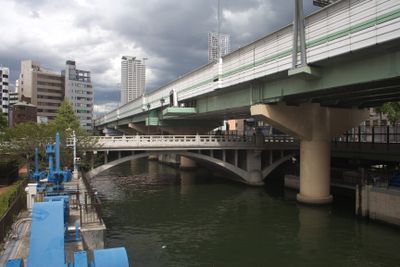
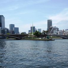
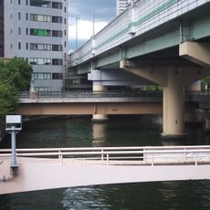
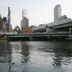
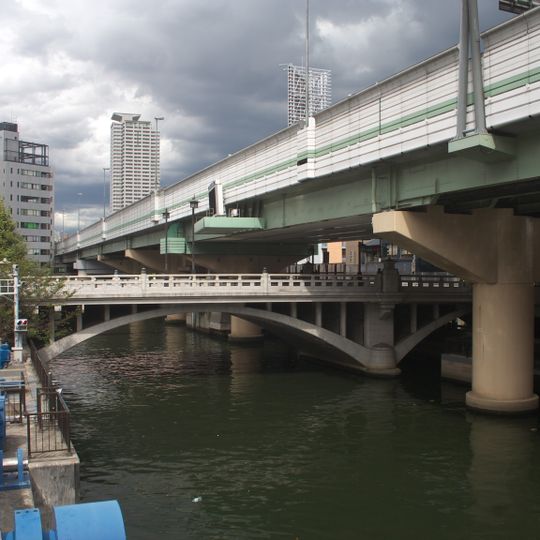
Kōrai Bridge spans the Higashi-Yokobori River on a single low concrete arch that springs from two massive rectangular piers. Its deck carries a solid parapet with a repeating rectangular balustrade pattern topped by a plain rail. Above and behind it runs the elevated Hanshin Expressway Route 1 on deep green steel girders, carried by thick cylindrical concrete columns and faced with pale panels striped by green bands, with a tall mast rising from its edge.
The first bridge here is said to date from the digging of the Higashi-Yokobori canal during the construction of Osaka Castle; a giboshi finial inscribed with the eighth month of Keichō 9 (1604) has been excavated. In 1870 it became Osaka's first iron bridge, designed by Motoki Shōzō with materials imported from England. The 1929 replacement, part of Osaka's first urban planning project, is the reinforced-concrete arch seen today.
The name Kōrai derives from the Naniwa Koma no Murotsumi, a lodging for envoys from the Korean kingdom of Goryeo, said to have stood near the bridge's east end. Toyotomi Hideyoshi later adopted the same kanji when dividing Osaka's districts. The bridge was one of twelve official bridges (kōgi-bashi) of Osaka and served as the starting point of the Ōsaka Kaidō.
The bridge is a short walk from Kitahama Station on the Keihan Line and Osaka Metro Sakaisuji Line. The Hanshin Expressway loop line now runs overhead, and the Kōraibashi entrance ramp intersects near the eastern end. The sidewalk lets you cross on foot while viewing the concrete arch and the steel girders above.
The bridge served as the starting point for calculating distances across western Japan during the Meiji period, marked by a milestone. This detail shows how central this location was to early modern surveying efforts.
The community of curious travelers
AroundUs brings together thousands of curated places, local tips, and hidden gems, enriched daily by 93,124 contributors worldwide.