Karumai, town in Kunohe district, Iwate prefecture, Japan
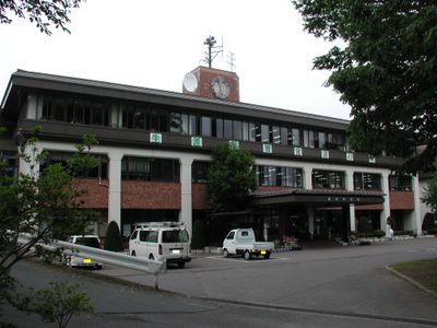
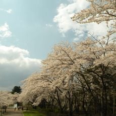
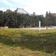
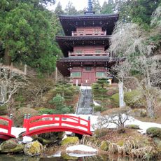
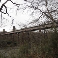
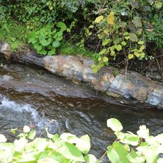
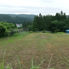
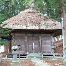
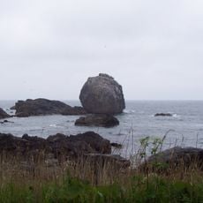
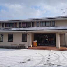
Karumai is a small town in the Kunohe District of Iwate Prefecture, in the Tohoku region of northern Japan. It sits among farmland, forests, and rivers, with simple houses, small roads, and a rural layout typical of the Japanese countryside.
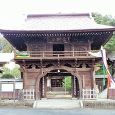
The land around Karumai was once part of the ancient Mutsu Province and came under the control of the Nambu clan during the medieval period. The area was formally registered as a village in the late 19th century and gradually took on its current form.
The name Karumai reflects the town's deep roots in farming and fishing traditions that shape daily life here. During local festivals and markets, residents celebrate seasonal harvests and local crafts, showing how these customs remain woven into the community's identity and rhythm.
Karumai has no train station, so reaching the town requires a car or a regional bus from nearby cities. Having your own vehicle makes it easier to move between the farms and countryside around the town.
Haruichi Furudate, the manga artist behind Haikyuu!!, was born and raised in Karumai. Readers of the series can notice references to the local landscape of this rural town in some of his drawings.
The community of curious travelers
AroundUs brings together thousands of curated places, local tips, and hidden gems, enriched daily by 60,000 contributors worldwide.