Ide, town in Tsuzuki district, Kyoto prefecture, Japan
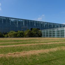
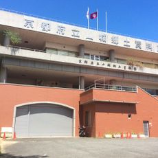
Ide is a small town in the Tsuzuki district of Kyoto Prefecture, in the central part of Honshu island. It sits in a hilly landscape where residential areas, agricultural land, and older buildings are spread along local roads.
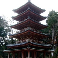
Ide developed as a farming settlement in the Kyoto region, shaped over centuries by rice cultivation and rural life typical of central Japan. During the 20th century it gradually shifted toward a residential town while keeping ties to its agricultural past.
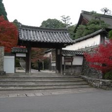
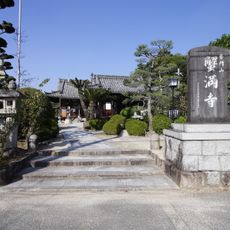
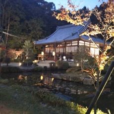
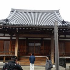
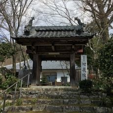
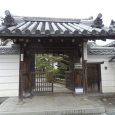
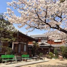
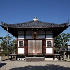
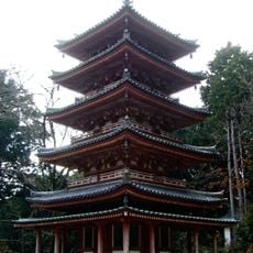
Some streets in Ide still follow the layout typical of old farming villages in the Kyoto region. Walking through these areas, visitors notice how older wooden buildings stand next to more recent homes without sharp breaks in scale.
Ide is best explored on foot or by bicycle, as local roads are quiet and manageable, though some hilly sections call for comfortable shoes. Buses connect the town to larger nearby cities in Kyoto Prefecture for those coming from farther away.
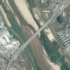
The name Ide (井手) refers to a system of irrigation channels that once fed the rice fields across this part of the Kyoto region. Traces of this water management are still visible in older parts of town, where the land dips and channels the terrain in recognizable ways.
The community of curious travelers
AroundUs brings together thousands of curated places, local tips, and hidden gems, enriched daily by 60,000 contributors worldwide.