Enable Location

We need your location to show you interesting places around you

Discover nearby places

Find interesting locations and hidden gems around you

Precise directions

Get accurate directions and distances to places

Your location is never shared with other users. It's only used when you tap the location button.

Kiyota-ku

Log in to your account

Start exploring — it's free

Trusted by 61,906 travelers worldwide

Continue with Google
Continue with Apple
or

We will send you a code to connect

By continuing, you accept our Terms and Conditions and our Privacy Policy

Check your inbox

We've sent a pincode in your inbox. Please enter the code below.

Kiyota-ku

Kiyota-ku, Administrative ward in Sapporo, Japan.

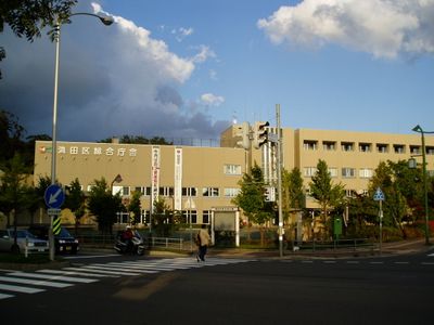
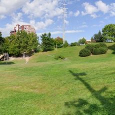
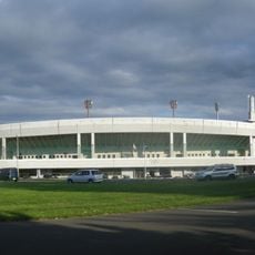
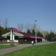
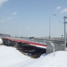
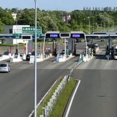
Kiyota-ku is an administrative ward in Sapporo that covers about 60 square kilometers and is the fourth largest administrative division in the city. The area mixes residential zones with open land and connects to the city center through the Hokkaido Expressway and bus routes.

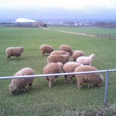
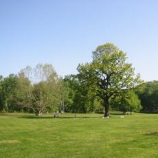
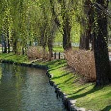
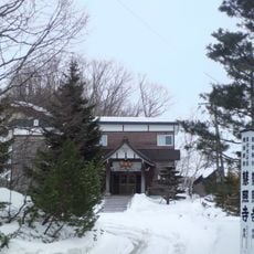
This ward was created in 1997 when it separated from the former Toyohira-ku. The land was long defined by rice fields and orchards before gradually becoming an urban residential area.

The name Kiyota comes from Japanese words meaning "pure rice field," reflecting the agricultural roots of this northeastern region. This naming choice reminds visitors today of what the land looked like before urban development.

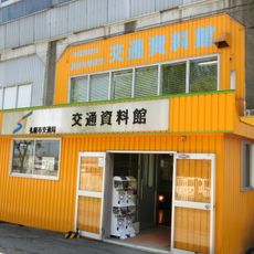
The area has no train stations within its boundaries, but visitors can easily reach the city center by bus. It helps to plan a bus route in advance since connections to Sapporo are numerous but spread out.

The area has its own mascot called Kiyochi that represents the agricultural roots of the region. This friendly symbol appears regularly at local community events and is used in neighborhood engagement projects.

The community of curious travelers

AroundUs brings together thousands of curated places, local tips, and hidden gems, enriched daily by 60,000 contributors worldwide.

Start exploring
Location
Inception
1997
Shares border with
Toyohira-ku, Shiroishi-ku, Minami-ku, Atsubetsu-ku, Kitahiroshima, Eniwa
GPS coordinates
42.99944,141.44389
Latest update
December 20, 2025 13:47
« Kiyota-ku - Administrative ward in Sapporo, Japan » is provided by Around Us (aroundus.com). Images and texts are derived from Wikimedia project under a Creative Commons license. You are allowed to copy, distribute, and modify copies of this page, under the conditions set by the license, as long as this note is clearly visible.

Discover hidden gems everywhere you go!

From secret cafés to breathtaking viewpoints, skip the crowded tourist spots and find places that match your style. Our app makes it easy with voice search, smart filtering, route optimization, and insider tips from travelers worldwide. Download now for the complete mobile experience.

Around Us App Screenshot

A unique approach to discovering new places

Le Figaro

All the places worth exploring

France Info

A tailor-made excursion in just a few clicks

20 Minutes

Around Us
Travel Guide & Maps
Download

Send to your phone

QR Code
1

Open the camera app on your mobile.

2

Point at the QR code with your camera. A notification will appear.

3

Tap the notification to open the link.