Enable Location

We need your location to show you interesting places around you

Discover nearby places

Find interesting locations and hidden gems around you

Precise directions

Get accurate directions and distances to places

Your location is never shared with other users. It's only used when you tap the location button.

Kyotamba

Log in to your account

Start exploring — it's free

Trusted by 62,937 travelers worldwide

Continue with Google
Continue with Apple
or

We will send you a code to connect

By continuing, you accept our Terms and Conditions and our Privacy Policy

Check your inbox

We've sent a pincode in your inbox. Please enter the code below.

Discussion Reviews 2 Photos
27.7k Popularity

Kyotamba, Rural municipality in Funai district, Japan

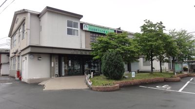
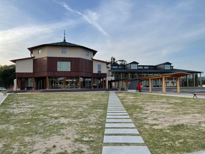
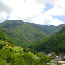
Kyōtamba is a town in Funai district situated between two major basins in central Kyoto Prefecture, serving as a regional center with school facilities and agricultural communities. The area is connected by rail transportation and consists of scattered rural settlements across its territory.

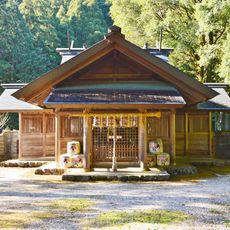
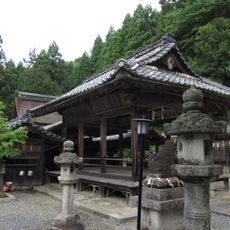
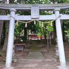
The area belonged to Tanba Province during the Edo Period under direct Tokugawa shogunate control, which shaped its development over centuries. This administrative arrangement influenced the region's governance and settlement patterns.

The town is known for its agricultural traditions, particularly the cultivation of matsutake mushrooms and black soybeans that shape the daily life and local identity of its residents.

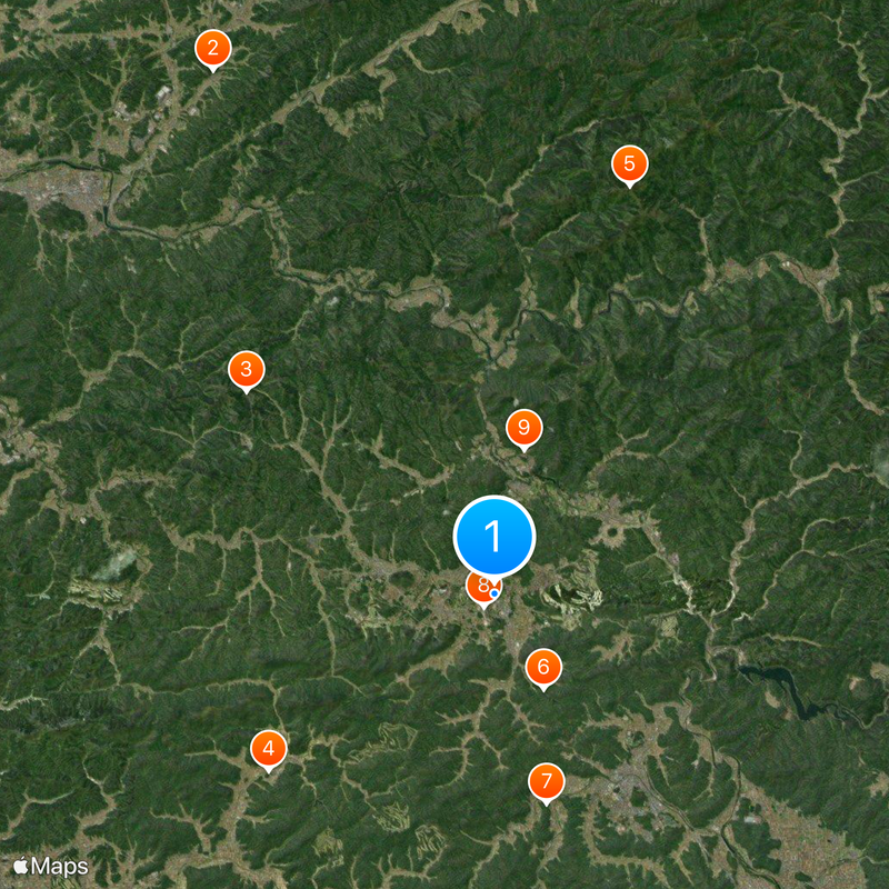
The town is accessible by the San'in Main Line, offering rail connections for visitors exploring the area. Having a car is helpful for reaching scattered rural sights and agricultural zones across the territory.

The southern section marks a watershed dividing two major river systems: the Yodo and Yura rivers, creating a geographic boundary of hydrological interest. This divide shapes water flow patterns across the territory and influences regional ecosystems.

The community of curious travelers

AroundUs brings together thousands of curated places, local tips, and hidden gems, enriched daily by 60,000 contributors worldwide.

Start exploring
Location
Location
Inception
October 11, 2005
Reference
264075
Shares border with
Ayabe, Fukuchiyama, Nantan, Tamba-Sasayama
GPS coordinates
35.16989,135.41936
Latest update
December 20, 2025 13:26
Reviews
Share your experience

No review yet

Discussions
Start a discussion...

No discussion yet

« Kyotamba - Rural municipality in Funai district, Japan » is provided by Around Us (aroundus.com). Images and texts are derived from Wikimedia project under a Creative Commons license. You are allowed to copy, distribute, and modify copies of this page, under the conditions set by the license, as long as this note is clearly visible.

Discover hidden gems everywhere you go!

From secret cafés to breathtaking viewpoints, skip the crowded tourist spots and find places that match your style. Our app makes it easy with voice search, smart filtering, route optimization, and insider tips from travelers worldwide. Download now for the complete mobile experience.

Around Us App Screenshot

A unique approach to discovering new places

Le Figaro

All the places worth exploring

France Info

A tailor-made excursion in just a few clicks

20 Minutes

Around Us
Travel Guide & Maps
Download

Send to your phone

QR Code
1

Open the camera app on your mobile.

2

Point at the QR code with your camera. A notification will appear.

3

Tap the notification to open the link.