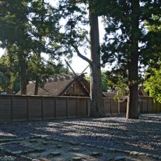
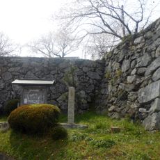
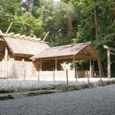
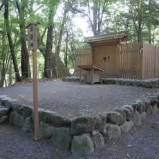
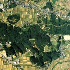
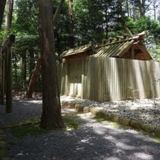
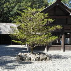
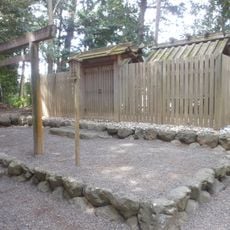
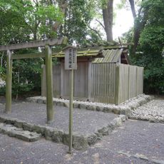
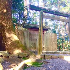
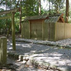
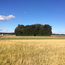
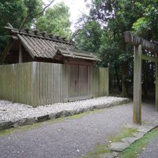
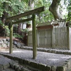
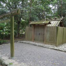
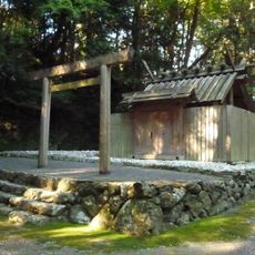
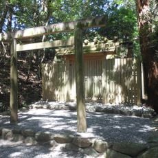
Watarai, town in Watarai district, Mie prefecture, Japan
Location: Watarai district
Inception: January 1, 1968
Shares border with: Ise, Taki, Odai, Tamaki, Taiki, Minamiise
Website: https://town.watarai.lg.jp
GPS coordinates: 34.43881,136.62253
Latest update: March 14, 2025 09:16
Toyouke Daijingū
9.1 km
Tamaru Castle
5.8 km
Kazahi Prayer Shrine
9.3 km
Taka-no-miya
9.1 km
Takimatsurinokami
9.3 km
Gokatsura Pond Furusato Village
7 km
佐那神社
8.4 km
Ise toll gate
8.7 km
Daibutsuyama Park
9.4 km
Shimonomii Shrine
9.1 km
Takakurayama Kofun
8.5 km
Watara Kunimi Shrine
9.2 km
棒原神社
6.9 km
Kaminomii Shrine
8.9 km
Shitomi Shrine
8.4 km
Kusanagi Shrine
9.2 km
久具都比賣神社
1.1 km
Ōtsu Shrine
9.1 km
朽羅神社
6.2 km
湯田神社
7.7 km
Ōmizu Shrine
9.4 km
小俁神社
9 km
鴨神社
2.8 km
Tsunaga Shrine
9.4 km
Ryohei Murayama Memorial Museum
5.9 km
Toyomiyazaki Bunko
9.5 km
Rikyū-in
8.5 km
Ise City Library
9 kmReviews
Visited this place? Tap the stars to rate it and share your experience / photos with the community! Try now! You can cancel it anytime.
Discover hidden gems everywhere you go!
From secret cafés to breathtaking viewpoints, skip the crowded tourist spots and find places that match your style. Our app makes it easy with voice search, smart filtering, route optimization, and insider tips from travelers worldwide. Download now for the complete mobile experience.
A unique approach to discovering new places❞
— Le Figaro
All the places worth exploring❞
— France Info
A tailor-made excursion in just a few clicks❞
— 20 Minutes