Koumi, town in Minamisaku district, Nagano prefecture, Japan
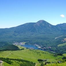
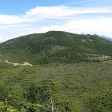
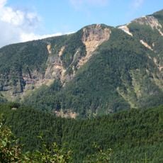
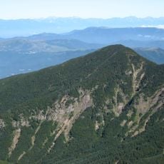
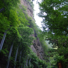
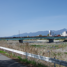
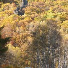
Koumi is a small town in Minamisaku District, Nagano Prefecture, set in the highlands of Japan's southern alpine region. The settlement is made up of low residential buildings and wooden structures spread along the valley floor, with forested slopes rising on all sides.
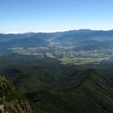
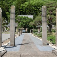
The area around Koumi was long home to small mountain communities that relied on forestry and subsistence farming in the highlands. The current administrative boundaries were drawn through the merger of smaller villages, a process common across rural Japan during the 20th century.
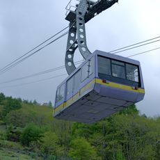
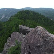
Koumi is known locally for its cool highland setting, which draws visitors from nearby cities during summer and autumn. The town has a reputation as a retreat from urban heat, and many of the surrounding villages hold small seasonal festivals tied to agricultural traditions.
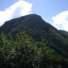
Koumi sits at a high elevation, so visitors should dress in layers even in summer, as temperatures can drop noticeably in the evening. Sturdy footwear is a good idea if you plan to walk beyond the central area, where paths become uneven and steep.
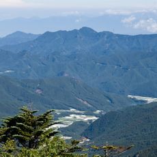
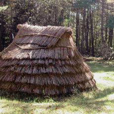
The area around Koumi regularly records some of the lowest winter temperatures on the main island of Honshu, making it one of the coldest inhabited places in Japan. This extreme cold has shaped many local building styles, with thick insulation and enclosed entryways being common features you can still notice today.
The community of curious travelers
AroundUs brings together thousands of curated places, local tips, and hidden gems, enriched daily by 60,000 contributors worldwide.