Hiraya, village in Shimoina district, Nagano prefecture, Japan
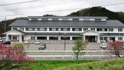
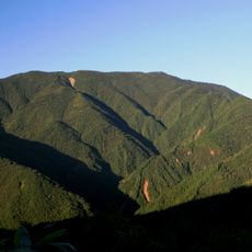
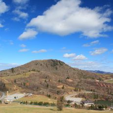
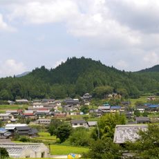
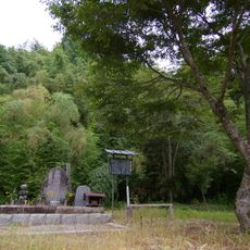
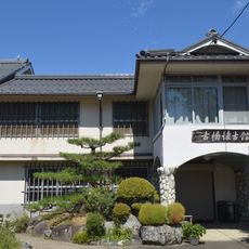
Hiraya is a small village in the mountains of Nagano Prefecture, surrounded by peaks reaching 1,500 meters (4,900 feet) and situated at an average elevation of 900 meters (2,950 feet). The settlement has roughly 400 residents, quiet streets lined with traditional wooden houses, and is characterized by dense forests and clear rivers.
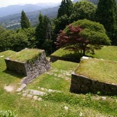
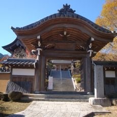
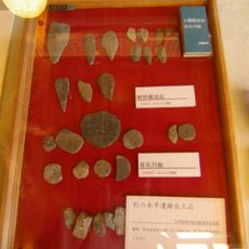
Hiraya was once part of the ancient Shinano Province and was officially established as a village in 2006 when a section of the nearby village of Namiai separated to form it. The region has a long history of settlement and traditional mountain village culture that persists today.
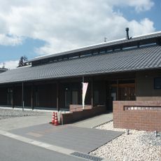
The name Hiraya refers to its historical identity as a sunny field settlement. The village maintains traditional crafts like waraji sandal making, footwear once worn by farmers and samurai, which visitors can learn and create by hand during their stay.
The village has no train station and is best reached by car via National Routes 153 and 418, which wind through the mountains. Visitors should note that winters are cold and snowy while summers are warm and humid, with September particularly rainy.
A master craftsman named Yuji Sakai teaches the rare art of waraji sandal making here, a skill that nearly disappeared but he keeps alive. Visitors can create their own pair in about two hours and then wear them on a hike, connecting the experience to Japan's ancient traditions.
The community of curious travelers
AroundUs brings together thousands of curated places, local tips, and hidden gems, enriched daily by 60,000 contributors worldwide.