Enable Location

We need your location to show you interesting places around you

Discover nearby places

Find interesting locations and hidden gems around you

Precise directions

Get accurate directions and distances to places

Your location is never shared with other users. It's only used when you tap the location button.

Koya

Log in to your account

Start exploring — it's free

Trusted by 61,363 travelers worldwide

Continue with Google
Continue with Apple
or

We will send you a code to connect

By continuing, you accept our Terms and Conditions and our Privacy Policy

Check your inbox

We've sent a pincode in your inbox. Please enter the code below.

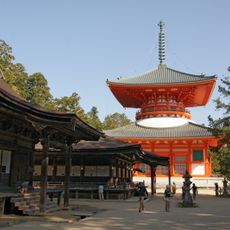
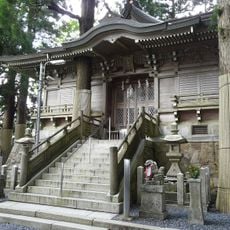
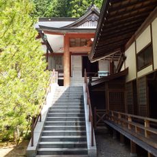
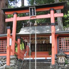
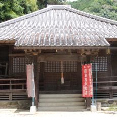
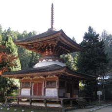
Koya, Buddhist temple settlement in Wakayama Prefecture, Japan

Description

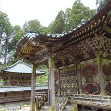
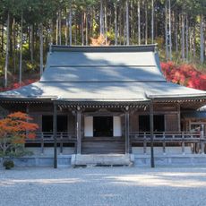
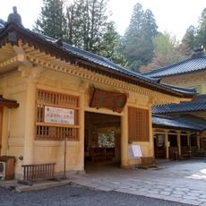
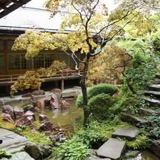
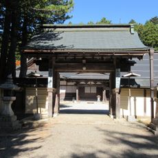
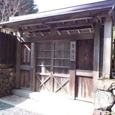
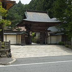
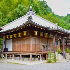
Koya is a settlement on an elevated plateau at 800 meters, surrounded by eight mountain peaks that form a natural lotus-shaped boundary. Over 120 temples are spread across the grounds and define the character of this religious community.

History

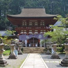
The Buddhist monk Kukai founded the first monastery here in 819, which gradually grew into the religious town we see today. The site expanded over centuries to become a major spiritual center of Buddhism.

Culture

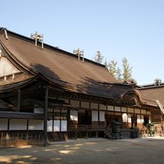
This settlement serves as the center of Koyasan Buddhism, where monks practice daily rituals and meditation that have continued for centuries. Visitors can participate in these spiritual activities and experience the religious rhythm of the community.

Practical

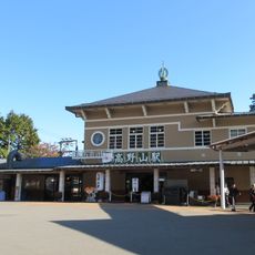
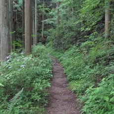
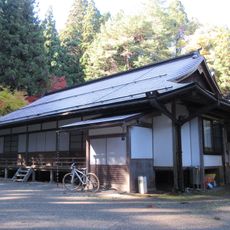
Visitors can take the Nankai Railway from Osaka to Gokurakubashi Station and then ride the cable car up the mountain. The grounds are accessible on foot via walking paths, and spring and autumn offer the most comfortable weather for exploring.

Did you know?

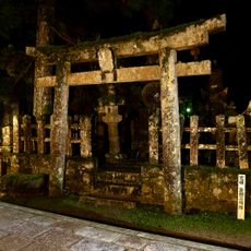
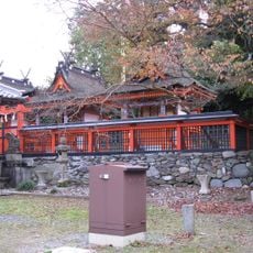
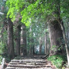
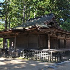
The Okunoin cemetery holds around 500,000 graves within a dense cedar forest and ranks among the world's largest cemeteries. The tombs span different eras and the surrounding woodland creates a quiet, meditative space.

Location
Inception
April 1, 1889
Reference
303445
Shares border with
Kudoyama, Katsuragi, Gojō, Nosegawa, Hashimoto
GPS coordinates
34.21614,135.58653
Latest update
December 13, 2025 16:34

AroundUs brings together thousands of curated places, local tips, and hidden gems, enriched daily by 60,000 contributors worldwide. Discover all places nearby (Ito district).

« Koya - Buddhist temple settlement in Wakayama Prefecture, Japan » is provided by Around Us (aroundus.com). Images and texts are derived from Wikimedia project under a Creative Commons license. You are allowed to copy, distribute, and modify copies of this page, under the conditions set by the license, as long as this note is clearly visible.

Discover hidden gems everywhere you go!

From secret cafés to breathtaking viewpoints, skip the crowded tourist spots and find places that match your style. Our app makes it easy with voice search, smart filtering, route optimization, and insider tips from travelers worldwide. Download now for the complete mobile experience.

Around Us App Screenshot

A unique approach to discovering new places

Le Figaro

All the places worth exploring

France Info

A tailor-made excursion in just a few clicks

20 Minutes

Around Us
Travel Guide & Maps
Download

Send to your phone

QR Code
1

Open the camera app on your mobile.

2

Point at the QR code with your camera. A notification will appear.

3

Tap the notification to open the link.