Hirono, town in Kunohe district, Iwate Prefecture, Japan
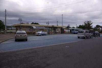
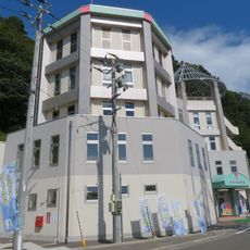
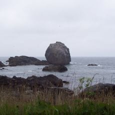
Hirono is a small town near the Pacific Ocean in Iwate Prefecture, located in Kunohe District. The landscape consists of open fields and flat terrain, with simple buildings spread out, and the sea visible from many spots.
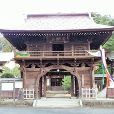
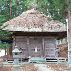
The town formed from smaller villages at the end of the 19th century and was first called Taneichi before being renamed Hirono. Before that, the area was controlled as part of the Nambu Domain during the Edo period, when it lived mainly from fishing and farming.
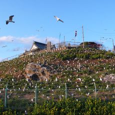
Hirono's name blends words for coast and land, reflecting how fishing and farming shape daily life here. You see fishermen preparing boats and farmers working fields, which are central to how people spend their time.
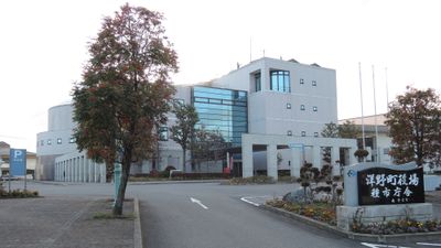
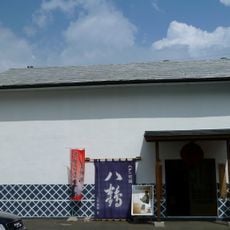
The town is easy to reach by train and connected by roads to neighboring towns, making it straightforward to explore the region. Local shops sell fresh seafood and crafts, and there are simple accommodations near the beach or in quiet areas.
The town is known for sea urchin farming and celebrates this with the Taneichi Sea Urchin Festival each July, showing how central this seafood is to the local economy. Visitors can also join simple craft workshops like wood carving to create something with their own hands.
The community of curious travelers
AroundUs brings together thousands of curated places, local tips, and hidden gems, enriched daily by 60,000 contributors worldwide.