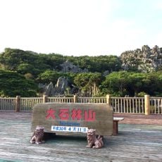
Yoron, town in Ōshima district, Kagoshima prefecture, Japan
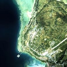
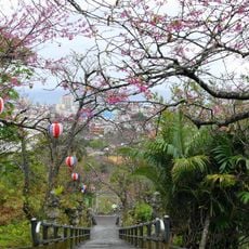
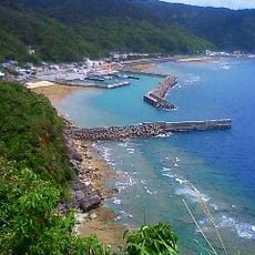
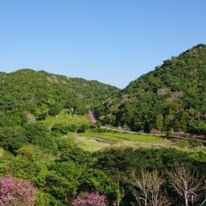
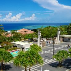
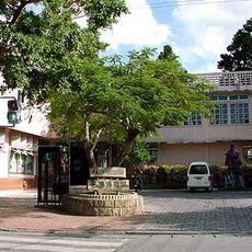
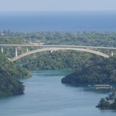
Yoron is a small town on an island located in Kagoshima Prefecture's Ōshima district in Japan. The entire island forms the town and is part of the Amami Islands chain within a national park. With just over 5,000 residents spread across about 20 square kilometers, it features quiet streets and scattered houses that give the place a slow rhythm. The landscape is filled with tropical vegetation including banyan and Kuroki trees, with colorful hibiscus flowers that bloom especially in warmer months.
The island was divided into six smaller villages in the early 1900s until it came under American control after World War II from 1945 to 1953. In 1963, these six villages merged to form the town of Yoron, and residents have since voted on various merger proposals with neighboring areas, rejecting most of them.
The name Yoron comes from the local language and means "good place." The island is known for its traditional music called Shimauta, which local performers play at community events and which tells stories of island life. Residents maintain old craft traditions and preserve them through small museums and demonstrations where visitors can learn traditional methods.
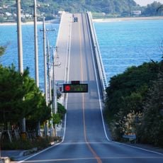
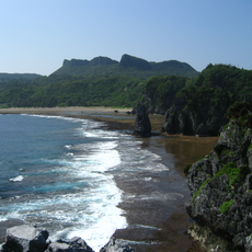
The best way to explore the island is to rent a car or scooter since bus services are limited and distances can be challenging to walk. Some beaches require planning ahead since they are accessible only at low tide or have changing seasonal conditions.
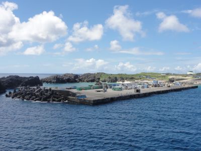
Yurigahama is a white sand beach that appears only a few times a year at low tide, looking like a hidden island. Visitors can take boats to this secret beach and enjoy the rare chance to see a place hidden under the sea most of the year.
The community of curious travelers
AroundUs brings together thousands of curated places, local tips, and hidden gems, enriched daily by 60,000 contributors worldwide.