Lake Suwa, Tectonic lake in Nagano Prefecture, Japan
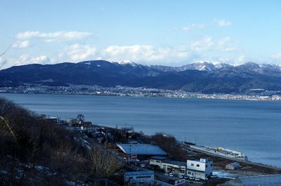
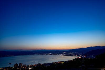
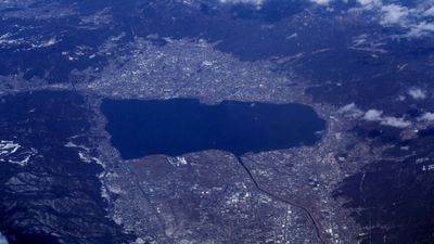
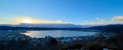
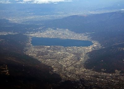
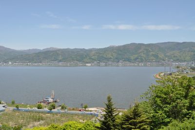
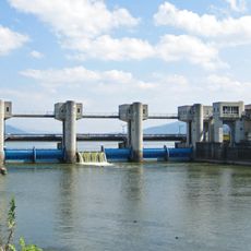
The body of water sits at 759 meters elevation in Nagano, spreading across 13 square kilometers with 31 small rivers flowing into its shallow waters. The water reaches a maximum depth of 7.2 meters, and the shores connect the towns of Suwa, Shimosuwa, and Okaya.
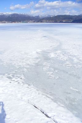
Religious observers documented freezing patterns starting in 1443, creating one of the world's longest climate records. These records emerged through shrine priests who monitored ice formation as a spiritual duty.
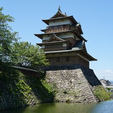
Locals maintain shrines along the shoreline, with Suwa veneration tied to the water for generations. Visitors often notice small wooden prayer structures and torii gates marking where communities pay respect to the water.
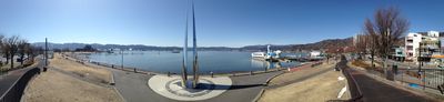
Multiple bicycle rental stations line the 16-kilometer shoreline path, and train stations in Suwa, Shimosuwa, and Okaya offer easy access to the water. The path remains flat and rideable year-round, though winter visitors can observe ice formation from the shores.
During winter, pressure forces create ice ridges called Omiwatari that cross the surface. Local religious traditions understand these formations as paths made by crossing deities.
The community of curious travelers
AroundUs brings together thousands of curated places, local tips, and hidden gems, enriched daily by 60,000 contributors worldwide.