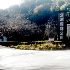
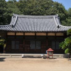
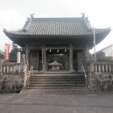
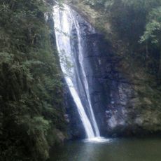
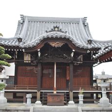
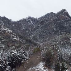
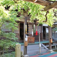
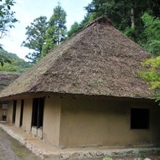
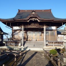
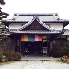
Kita district, district in Kagawa prefecture, Japan
Location: Kagawa Prefecture
Inception: April 1, 1899
Capital city: Hirai
GPS coordinates: 34.23806,134.13500
Latest update: March 3, 2025 05:05
Ōkubo-ji
8.4 km
Sogo Castle
3.7 km
Shido-ji
10.4 km
Hōnen-ji
9.1 km
Nagao-ji
4.6 km
Busshozan
9.2 km
Sanuki Kodomonokuni
11.2 km
Tomida Chausuyama Kofun
10.3 km
Kagawa Prefectural Library
8.8 km
Takamatsu City Kagawa Gymnasium
10 km
Kinbuchi forest park
2.8 km
仏生山公園
8.8 km
Reishi-ji
8.4 km
極楽寺
5.1 km
虹の滝
6.6 km
Jizō-ji
10.1 km
Takamatsu Chausuyama Kofun
8.3 km
Tenpuku-ji
10.8 km
Mount Yahazu
7.5 km
Gyokusen-ji
6.8 km
Hosokawa House
6.5 km
浄土寺
2.4 km
Hisamoto Kofun
9 km
Mitani Ishifune Kofun
6.5 km
繁昌院
8.3 km
Shionoe Museum of Art
8.5 km
Georege Nakashima Memorial Gallery
10.9 km
Oima Ike
5.7 kmReviews
Visited this place? Tap the stars to rate it and share your experience / photos with the community! Try now! You can cancel it anytime.
Discover hidden gems everywhere you go!
From secret cafés to breathtaking viewpoints, skip the crowded tourist spots and find places that match your style. Our app makes it easy with voice search, smart filtering, route optimization, and insider tips from travelers worldwide. Download now for the complete mobile experience.
A unique approach to discovering new places❞
— Le Figaro
All the places worth exploring❞
— France Info
A tailor-made excursion in just a few clicks❞
— 20 Minutes