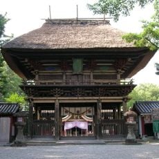
Kuma, village in Kuma district, Kumamoto prefecture, Japan
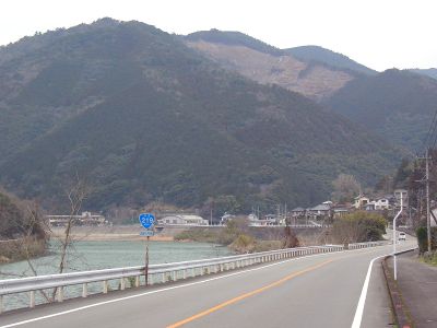
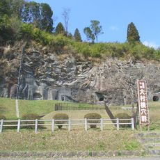
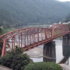
Kuma is a village in Kuma district, in the southwestern part of Kumamoto prefecture, situated along the Kuma River. The surrounding hillsides are covered with rice terraces and orchards, giving the valley a layered, cultivated look.
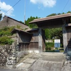
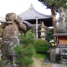
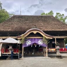
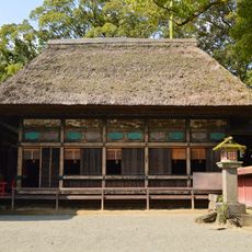
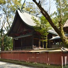
The area kept much of its agricultural character since the Edo period, when rice farming and local crafts shaped rural life across Japan. Because the region did not go through heavy development, traditional land-use patterns survived into the present day.
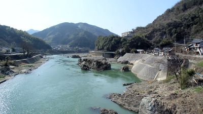
The village takes its name from the Kuma River, which runs through the valley and gives the area much of its character. Along the river, small farms and orchards still follow the rhythm of the seasons, much as they have for generations.
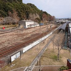
The village can be reached by train via several small stations nearby, with Kumamoto about an hour and a half away. Those planning to walk the hillside paths or explore the river should set aside at least a full day, as the area spreads across a wide valley.
The flat wooden boats used on the Kuma River, known as kumagawa kudari, once served as the main way to move goods between valley villages before roads were built. The route passes through narrow gorges that are not visible from the road, offering a perspective of the valley that most visitors never see on foot.
The community of curious travelers
AroundUs brings together thousands of curated places, local tips, and hidden gems, enriched daily by 60,000 contributors worldwide.