
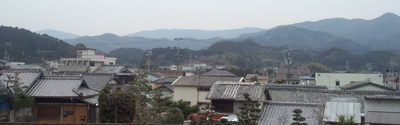
Kimino, town in Kaisō district, Wakayama prefecture, Japan
Location: Wakayama Prefecture
Location: Kaisō district
Inception: January 1, 2006
Website: https://www.town.kimino.wakayama.jp/
Shares border with: Kainan, Kinokawa, Katsuragi, Aridagawa
Website: https://town.kimino.wakayama.jp
GPS coordinates: 34.16719,135.30756
Latest update: April 15, 2025 12:14
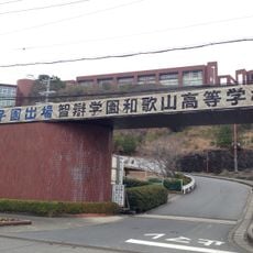
Chiben Gakuen Wakayama Elementary, Junior High, and High School
8.8 km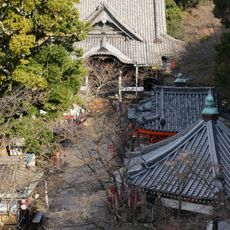
Kimii-dera
11 km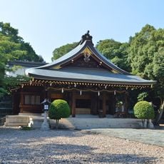
Kamayama Shrine
10.2 km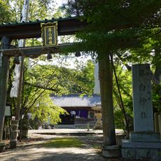
Fujishiro Shrine
9.4 km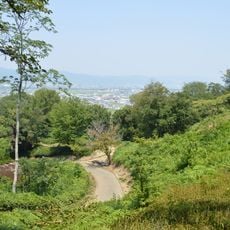
Iwase Senzuka Kofun Group
9.5 km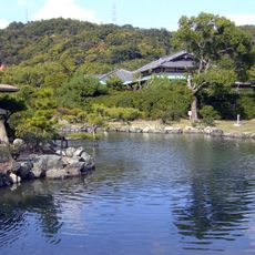
Onzansō-en
10.5 km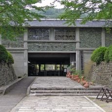
Wakayama Prefecture Kii-fudoki-no-oka Museum of Archaeology and Folklore
9.9 km
Misato Observatory
9.4 km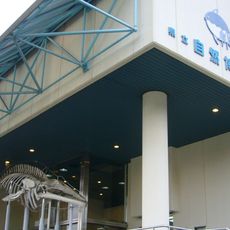
Wakayama Prefectural Museum of Natural History
10.7 km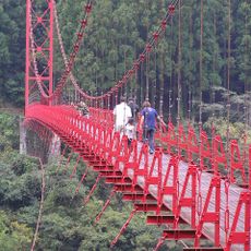
蔵王橋 (和歌山県)
10.3 km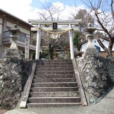
橘本神社
11.4 km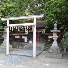
Oyatsuhime-jinja
11.7 km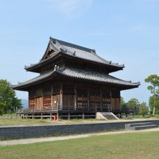
Kii Kokubun-ji
11.7 km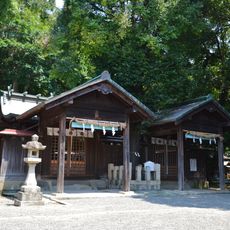
Naru-jinja
11.1 km
和歌山Big Wave
12.3 km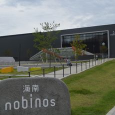
Kainan nobinos
9.1 km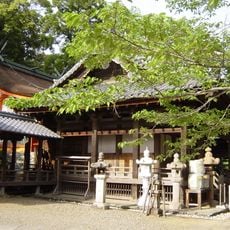
野上八幡宮
1.2 km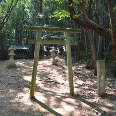
静火神社
10 km
Arcadia Sports Park Stadium
7.6 km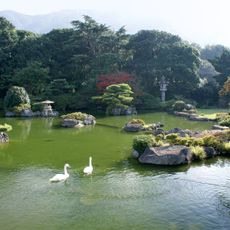
Chōkyū-tei
9.7 km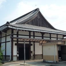
光恩寺
8.9 km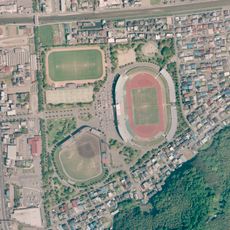
Kimiidera Park
10.7 km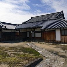
增田家住宅
11.1 km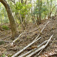
Inbe Hachiman-yama Kofun
10.2 km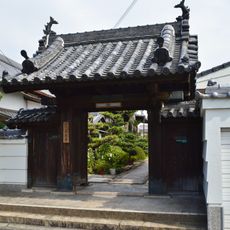
来迎寺
12.3 km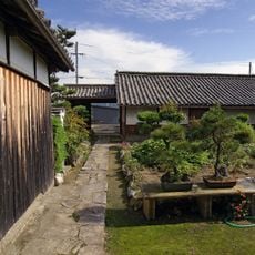
桃井家住宅
11.2 km
Narugami Shell Mound
11.3 km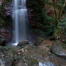
Fudo Falls (Kimino, Wakayama)
8.5 kmReviews
Visited this place? Tap the stars to rate it and share your experience / photos with the community! Try now! You can cancel it anytime.
Discover hidden gems everywhere you go!
From secret cafés to breathtaking viewpoints, skip the crowded tourist spots and find places that match your style. Our app makes it easy with voice search, smart filtering, route optimization, and insider tips from travelers worldwide. Download now for the complete mobile experience.

A unique approach to discovering new places❞
— Le Figaro
All the places worth exploring❞
— France Info
A tailor-made excursion in just a few clicks❞
— 20 Minutes