Uryu, town in Uryu district, Hokkaido, Japan
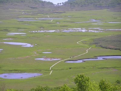
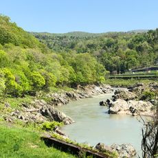
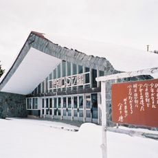
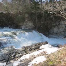
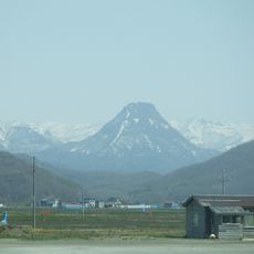
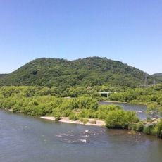
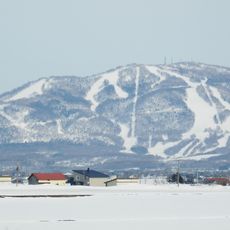
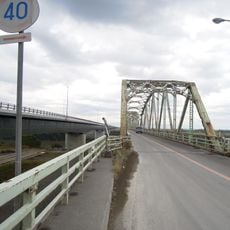
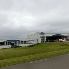
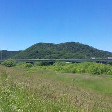
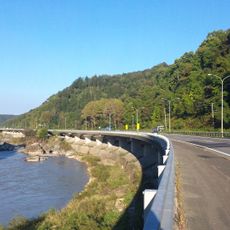
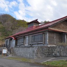
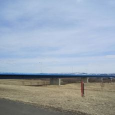
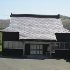
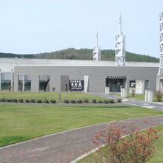
Uryu is a small town in Sorachi Subprefecture in northern Hokkaido. Its quiet streets are lined with a mix of older wooden buildings and newer homes, surrounded by open farmland, gentle hills, and a branch of the Ishikari River that provides water to the agricultural area.
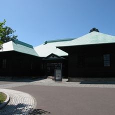
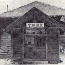
The town was established in the late 1800s as part of Hokkaido's settlement expansion. Since then it has evolved from farmland into a peaceful community that has preserved its agricultural and craft traditions throughout the decades.
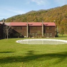
Uryu takes its name from the Ainu language spoken by the region's first inhabitants. In daily life, you notice residents tending their gardens and gathering at local festivals where traditional food and music strengthen community bonds.
Signs in town are mostly in Japanese and public transport is limited, so walking is the best way to explore. Early mornings and fair weather are ideal for strolling through fields and observing daily farm activities along the quiet roads.
The name Uryu is often written with characters meaning 'rain' and 'dragon', even though these do not reflect the town's actual history from the Ainu language. This blend of native and Japanese characters reveals the cultural layers that have shaped the region for centuries.
The community of curious travelers
AroundUs brings together thousands of curated places, local tips, and hidden gems, enriched daily by 60,000 contributors worldwide.