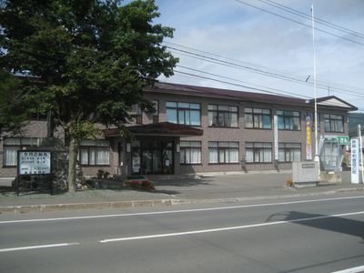
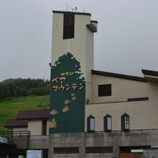
Minamifurano, town in Kamikawa Subprefecture, Hokkaido, Japan
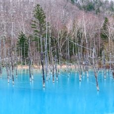
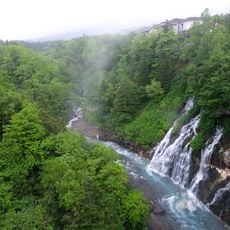
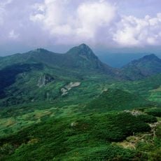
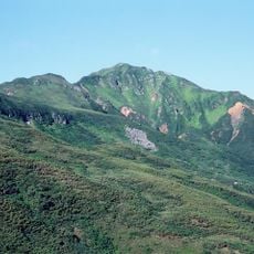
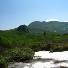
Minamifurano is a small town in the Sorachi district of Hokkaido, Japan, set among open fields, forests, and mountains. The landscape is mostly farmland with scattered houses along roads that see very little traffic.
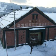
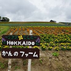
The area was first settled by gold prospectors in the late 1800s, and the arrival of a railway line made permanent settlement possible. Growth has always been tied to farming, and old farmhouses still standing today reflect that long tradition.
The town's mascot, Minami-chan, wears a curling stone as a helmet and holds corn and carrots, reflecting local ties to the sport and to farming. Her image appears at town festivals and community gatherings throughout the year.
The town can be reached by train or bus from Sapporo or Asahikawa, with views that change noticeably with the seasons. Once there, walking, cycling, or renting a car are the best ways to move around and explore the surrounding countryside.
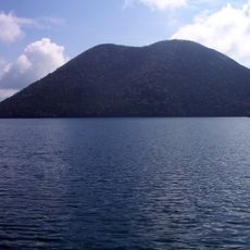
In winter, Kanayama Lake freezes thick enough for ice fishing, where visitors cut holes through the ice to catch smelt. During the Ice Candle Night event, candles line the shoreline while the Winter Triangle star group is visible in the sky above.
The community of curious travelers
AroundUs brings together thousands of curated places, local tips, and hidden gems, enriched daily by 60,000 contributors worldwide.