Urahoro, town in Tokachi district, Hokkaido, Japan
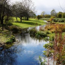
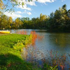
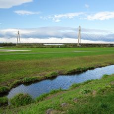
Urahoro is a small town in the eastern part of Tokachi district in Hokkaido, Japan. The town spreads across fields, forests, and open spaces, with a slow and quiet rhythm where visitors can explore nature through birdwatching, paddling on rivers, and visiting local sites like Forest Park and the Kobukariishi Lookout above the town.
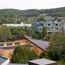
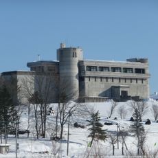
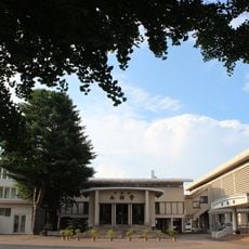
Urahoro developed as a settlement based on farming, forestry, and fishing. The closure of the old elementary and junior high schools in 2005 marked a turning point, after which the building was transformed into TOKOMURO Lab, a center for local development and community collaboration.
The name Urahoro comes from the Ainu language and means "light on the shore". Today the town is known for its connection to local resources, especially through community projects like the rugosa rose, which became the town's flower and is now used in cosmetic products sold across Hokkaido.
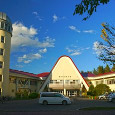
The best time to visit is between May and October for hiking and birdwatching, while January to February is especially popular for seeing Jewelry Ice, sparkling ice crystals along the coast. Hahaha Hostel in the town center offers basic lodging and access to local activities, while day visitors can easily drive through the open landscape by car.
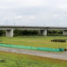
In winter, sparkling ice crystals called Jewelry Ice form when river ice from the Tokachi River flows into the ocean and is polished by waves. This rare sight occurs especially in cold years and draws photographers who want to capture the shimmering formations along the shore.
The community of curious travelers
AroundUs brings together thousands of curated places, local tips, and hidden gems, enriched daily by 60,000 contributors worldwide.