Innoshima Bridge

Log in to your account

AroundUs is a community-driven map of interesting places, built by curious explorers like you. It grows with every review, story, and photo you share.
Connect to save your favorite spots, contribute locations, and create personalized routes.
Continue with Google
Continue with Apple
Continue with X
Continue with Facebook
Continue with email
By continuing, you accept our Terms and Conditions and our Privacy Policy
Create an account

Innoshima Bridge

Add to collection
Map
Suggest a change
Share

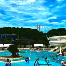
Innoshima Bridge, Suspension bridge in Onomichi, Japan

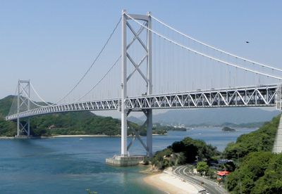
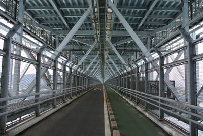
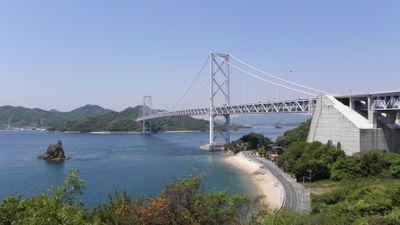
Innoshima Bridge spans the Mekari Strait to connect Mukaishima Island with Innoshima Island using a double-deck steel structure that extends about 1270 meters. The structure has traffic lanes on the upper level and a separate pathway for pedestrians and cyclists on the lower level.

The bridge's construction was completed in December 1983 and marked a milestone in Japanese engineering. It was among the first major structures in the country to use steel decking elements on this scale.

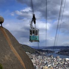
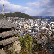
The bridge is part of the Shimanami Kaido expressway system that connects multiple islands in the Seto Inland Sea. It plays an important role in daily life for residents and visitors who travel between island communities.

The upper level is reserved for vehicles while the lower level sits about 58 meters above sea level and opens to pedestrians and cyclists. Both pathways offer views across the strait, and visitors should be prepared for wind conditions that feel stronger at this height.

The Mekari Strait running beneath the bridge is one of the busiest shipping channels in the country with many large vessels passing daily. The structure was specifically designed with a clearance exceeding 50 meters to accommodate this heavy maritime traffic.

Location: Onomichi

Official opening: December 4, 1983

Height: 145 m

Length: 1,270 m

Longest Span: 770 m

Made from material: steel

Website: https://jb-honshi.co.jp/english/corp_index/technology/introduction/introduction_innoshima.html

GPS coordinates: 34.35694,133.18028

Latest update: December 8, 2025 19:52

Photos
Reviews

Visited this place? Tap the stars to rate it and share your experience / photos with the community! Try now! You can cancel it anytime.

« Innoshima Bridge - Suspension bridge in Onomichi, Japan » is provided by Around Us (aroundus.com). Images and texts are derived from Wikimedia project under a Creative Commons license. You are allowed to copy, distribute, and modify copies of this page, under the conditions set by the license, as long as this note is clearly visible.

Discover hidden gems everywhere you go!

From secret cafés to breathtaking viewpoints, skip the crowded tourist spots and find places that match your style. Our app makes it easy with voice search, smart filtering, route optimization, and insider tips from travelers worldwide. Download now for the complete mobile experience.

Around Us App Screenshot

A unique approach to discovering new places

Le Figaro

All the places worth exploring

France Info

A tailor-made excursion in just a few clicks

20 Minutes