Mt. Akagoura, mountain in Japan
Location: Miyazaki Prefecture
Elevation above the sea: 1,232 m
GPS coordinates: 32.79077,131.28982
Latest update: April 15, 2025 06:08

Mount Aso
21.8 km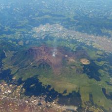
Aso Caldera
21.6 km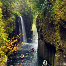
Takachihokyo
10.1 km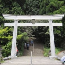
Heitate-jinja
18.5 km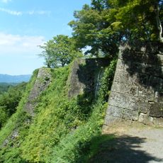
Oka Castle
22.7 km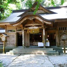
Takachiho Shrine
9.4 km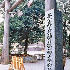
Amanoiwato-jinja
8.5 km
Toroku arsenic disease
6.4 km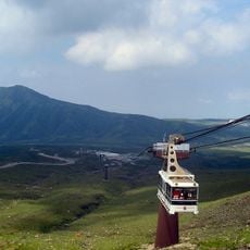
Mount Aso Ropeway
22 km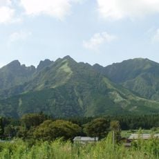
Mount Neko
17.1 km
Takachiho Railway Bridge
10 km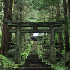
Kamishikimi Kumanoimasu Shrine
14.2 km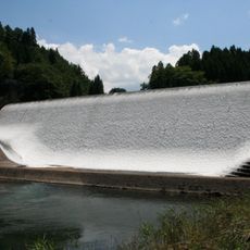
Hakusui Dam
13.2 km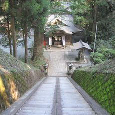
草部吉見神社
6.8 km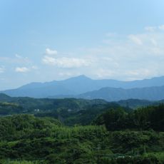
Mount Katamuki
18.2 km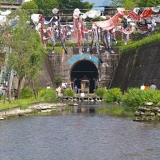
Takamori Spring Tunnel Park
15.8 km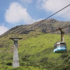
Sensuikyō
21.3 km
Takeo Shimokorihiko Jinja
11 km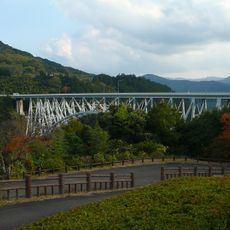
Seiun Bridge
17.4 km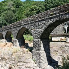
Meisei Iro Bridge
15.5 km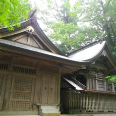
Kushifuru-jinja
9.3 km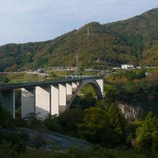
天翔大橋
12.7 km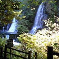
Shiramizuno Taki
10.1 km
Miyamizu-jinja
16.5 km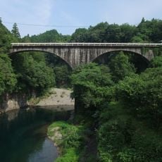
轟橋
22.5 km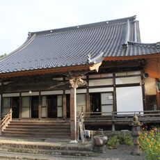
Shonenji Temple, Takachiho
3.4 km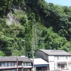
落門の滝
22.2 km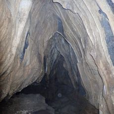
柘の滝鍾乳洞
14.2 kmReviews
Visited this place? Tap the stars to rate it and share your experience / photos with the community! Try now! You can cancel it anytime.
Discover hidden gems everywhere you go!
From secret cafés to breathtaking viewpoints, skip the crowded tourist spots and find places that match your style. Our app makes it easy with voice search, smart filtering, route optimization, and insider tips from travelers worldwide. Download now for the complete mobile experience.

A unique approach to discovering new places❞
— Le Figaro
All the places worth exploring❞
— France Info
A tailor-made excursion in just a few clicks❞
— 20 Minutes